
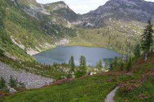
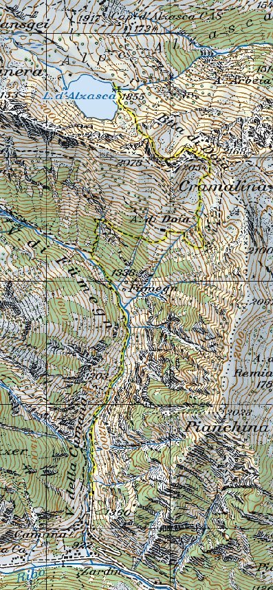
Lago d'Alzasca
Information
| Date: | 30 June 2007 |
| Maximum height: | 2054 m |
| Difference in height: | 1300 m |
| Length: | 10 km |
| Kilometers effort: | 27.3 kmef |
| Duration: | 9 hours |
| Lakes reached: | Lago d'Alzasca |
Difficulties

|
Lungo tutto il percorso. |
Comment (Automatic translation in english)
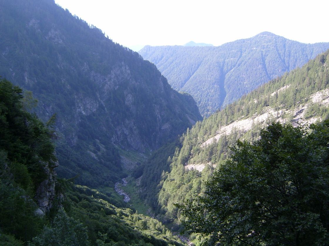
For this excursion I left the car in Val Camana, just above Zardin, where there is a small parking area. Continue on foot along the valley until you reach the Alpe di Doia and then the namesake nozzle. From here you can then go down to Lago d'Alzasca and the Capanna. The paths are well marked even if the vegetation, at least in this period, was a bit 'thick and covered them at times.
Map of the Path


Comments (0)