
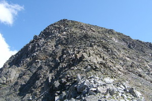
Pizzo Centrale
Information
| Date: | 19 July 2006 |
| Maximum height: | 2999.3 m |
| Difference in height: | 800 m |
| Length: | 7 km |
| Kilometers effort: | 17.6 kmef |
| Duration: | 5 hours |
Difficulties

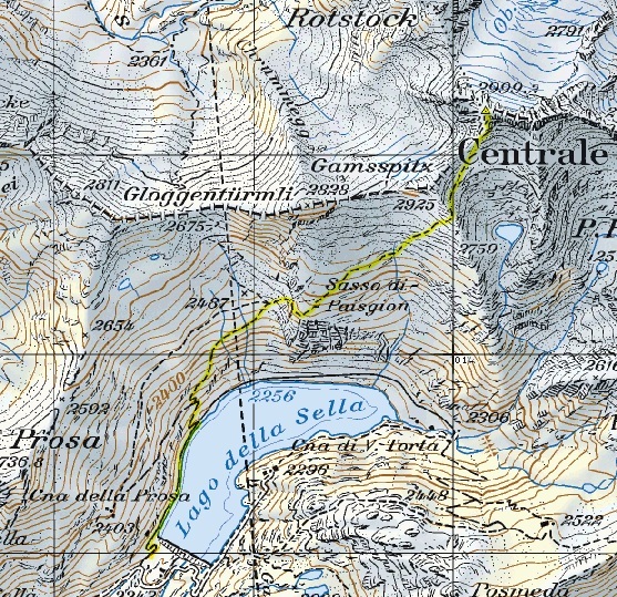
|
Dalla diga fino a metà del Lago della Sella. |

|
Da metà del Lago della Sella fino a quota 2487 metri. |

|
Da quota 2487 metri fino a 100 metri dalla cima. |

|
Ultimi 100 metri prima della cima. |
Comment (Automatic translation in english)
The route starts from the Sella dike, on the Gotthard pass, under which there is a large parking area. You follow the edge of the lake until you get to a road that goes up on the left. From here the well-marked path that leads to Pizzo Centrale. Follow it until you get under the Gamsspitz and from here you get to the summit in a short time.
Map of the Path


Comments (0)