
Lago dei Matörgn
Information
| Date: | 9 July 2026 |
| Maximum height: | 2457 m |
| Difference in height: | 600 m |
| Length: | 8 km |
| Kilometers effort: | 16 kmef |
| Duration: | 4 hours |
| Lakes reached: | Lago dei Matörgn |
Difficulties (Automatic translation in english)

|
From Robièi to Lake Matörgn (with some T2+ sections). |

|
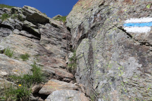
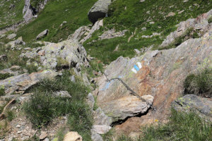
The descent from the lake to the altitude of 2,380 metres (including a Grade II climbing section at the altitude of 2,423 metres). |

|
From the altitude of 2,380 metres down to the altitude of 2,214 metres. |
|
|
From the altitude of 2,214 metres to Robièi (with a few T2+ passages). |
Comment (Automatic translation in english)
The Lake of Matörgn is situated at the head of the Bavona Valley, in the Basòdino region. The easiest way to reach it is to take the cable car from San Carlo to Robièi, a 20-minute journey (24 francs return).
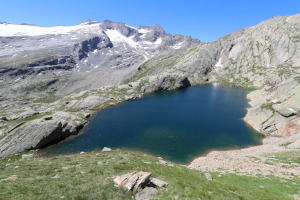
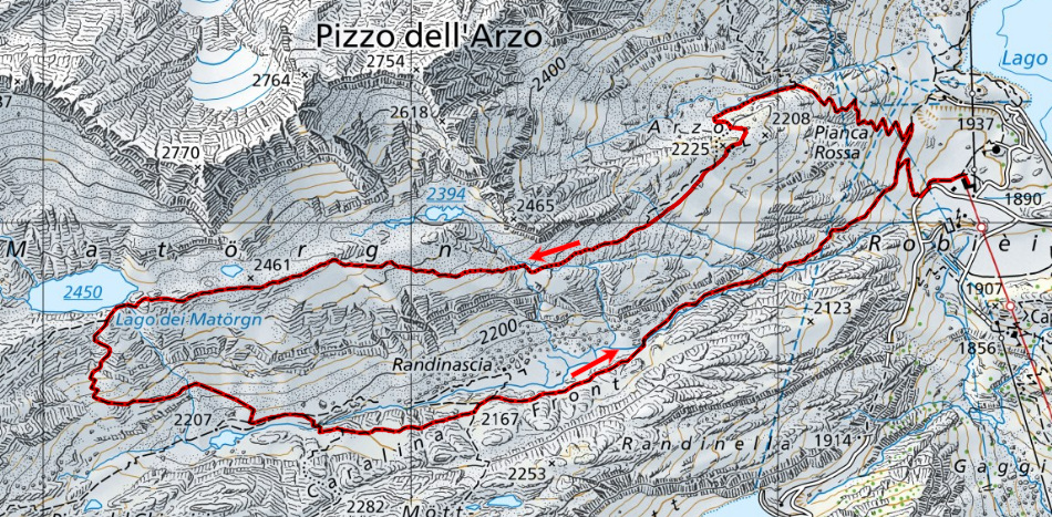
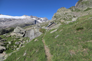
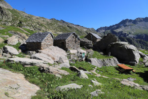
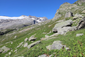
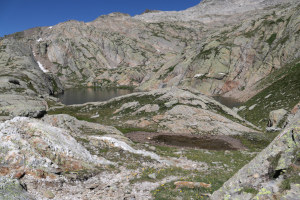
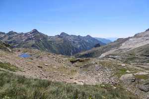
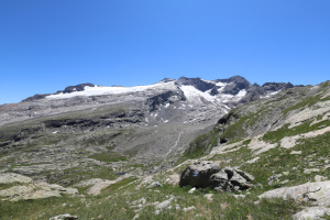
From Robièi, I set off on foot, following the path that climbs north-westwards until I reach Pianca Rossa, where the slope becomes quite steep. I then continue on to Corte di Arzo, a charming cluster of alpine buildings situated at an altitude of around 2,225 metres, which was restored by Pro Patria between 2010 and 2016. At this point, the climb becomes less steep and, after about 2 km, I finally reach Lago dei Matörgn, with its beautiful blue colour. The view over the Val Bavona is fantastic, but the view of Basòdino and its surrounding mountains is even more so.
The day is still long, so I take my time, given that the last cable car leaves at 16:45. I take plenty of photos of the lake, from both the east and the west, and stop to soak up the sun.
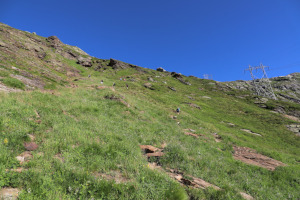
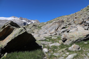
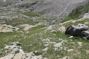
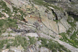
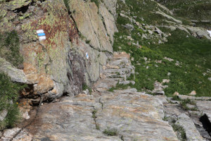
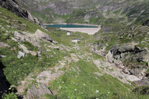
After the long break, it’s time to start the descent. However, I decide to follow a different route and return to Robièi via Randinascia. The path heading straight south is marked with white and blue signs, though, and isn’t for everyone. There are a few sections, equipped with chains, which reach difficulty level T4. One in particular, at an altitude of 2,423 metres (2,680,177, 1,143,658), although short, reaches climbing grade II. At that point, in fact, a certain amount of arm strength is required to lower yourself whilst holding onto the chain (see photo).
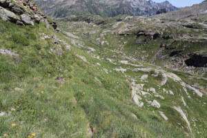
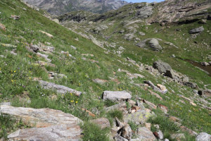
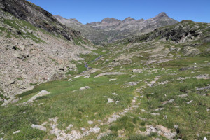
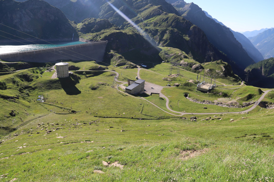
Once you reach an altitude of 2,380 metres, the most challenging section is over, although the path is still somewhat rugged and visibility is poor in places. At an altitude of 2,214 metres, I join the path coming from Bocchetta di Val Maggia and, following it eastwards, I soon descend to Randinascia. I then continue to the far end of the plateau and, after a final descent, I’m back in Robièi, just in time to catch the cable car.
Water (Automatic translation in english)
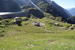
There is a fountain in Robièi, one at Corte di Arzo and, on the way back, one in the cable car car park. There are also a few streams to the west of Lago dei Matörgn and the river that flows down to Randinascia.
Map of the Path


Lakes

Other




Comments (0)