
Capanna Cava e Forcarella di Lago
Information
| Date: | 21 July 2011 |
| Maximum height: | 2260 m |
| Difference in height: | 750 m |
| Length: | 9 km |
| Kilometers effort: | 19 kmef |
| Duration: | 4 hours and 30 minutes |
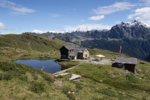
| Huts reached: | Capanna Cava |
Difficulties (Automatic translation in english)

|
Along the entire route (T1 the road sections). |
Comment (Automatic translation in english)
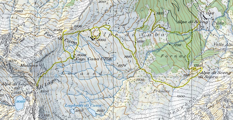
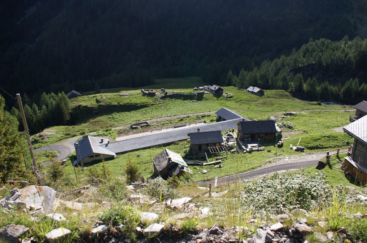
After leaving the car at Alpe di Sceng, go up a path to the Alpe di Sceng di Sopra where there are some splendid farmhouses. From here continue to the Alpe di Cava and then up to the homonymous hut. Then continue until the Forcarella di Lago on a slightly steeper path than the previous ones. On the way back you can also make a trip to the Forcarella di Cava from where you can see the whole Val di Blenio. To change itinerary you can then descend to the Alpe di Sceng following the road and then the path to the north of the river.
Water (Automatic translation in english)
There are streams just about everywhere. There is a fountain at Alpe di Sceng di Sopra and a tap at Capanna Cava. There are also some fountains on the road to Biborgh.
Map of the Path

Huts
Other


Comments (0)