
Cima Pomodoro e Cima Verta
Information
| Date: | 11 June 2025 |
| Maximum height: | 2078 m |
| Difference in height: | 800 m |
| Length: | 11.5 km |
| Kilometers effort: | 22.1 kmef |
| Duration: | 5 hours and 30 minutes |
Difficulties (Automatic translation in english)

|
From Alpe di Giumello to the alp at the altitude of 1761 metres. |

|
From the alp to Bocchetta d'Albano. |

|
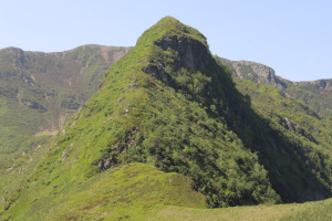
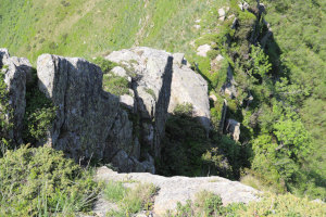
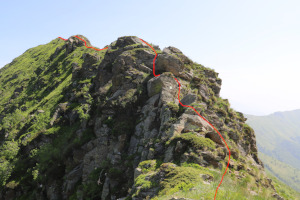
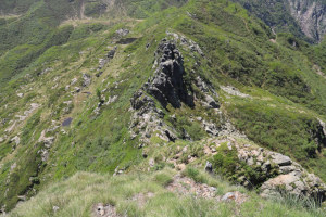
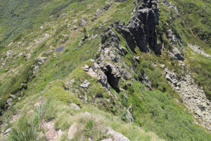
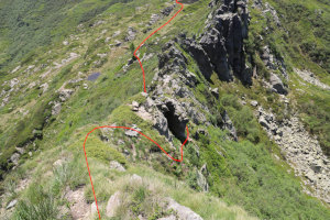
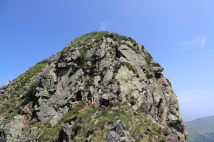
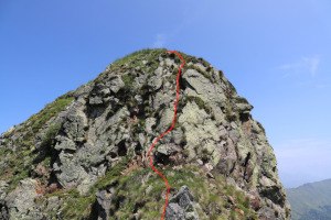
From the pass to Cima Pomodoro on the north side (with some T3+ passages and one grade II climbing passage [2,730,504, 1,111,834]). |

|
The descent from Cima Pomodoro on the south side to Laghetto di Sommafiume (unofficial name) (with some grade II passages). |

|
From the lake to Cima Verta and then back to the alp at the altitude of 1761 metres (with some T2+ passages). |
Comment (Automatic translation in english)
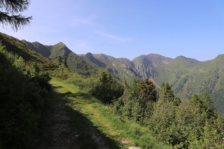
Today I return to Val Morobbia to continue my journey along the ridge that forms the border between Switzerland and Italy. Last year I reached Bocchetta di Albano, and this year Cima Pomodoro and Cima Verta (or Motto della Tappa) await me.
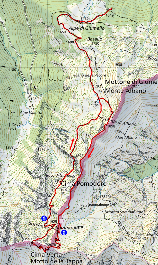
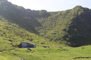
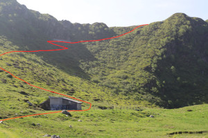
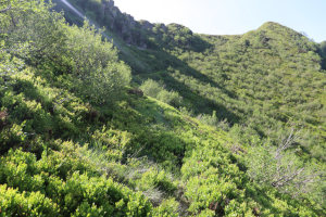
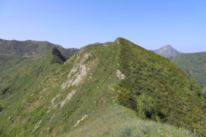
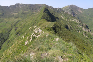
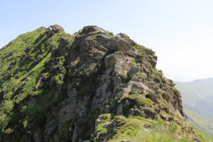
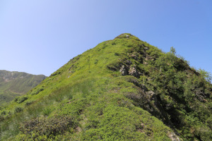
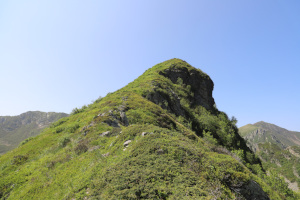
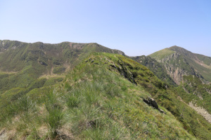
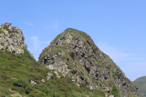
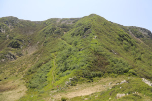
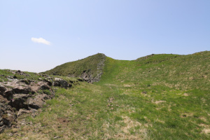
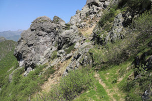
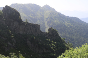
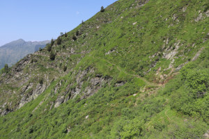
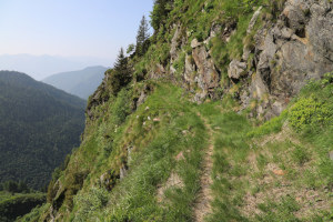
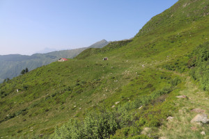
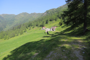
After almost reaching Alpe di Giumello, I continue along the road that leads to Piano delle Pecore and the alp at an altitude of 1761 metres. At that point, I turn left and begin to climb, trying to follow the faint trail that passes through the blueberries. At an altitude of 1820 metres, the path becomes a little more visible and in a short time I reach Bocchetta di Albano. I then continue along the ridge southwards to the summit at an altitude of 1940 metres. Descending on the other side, I find a slightly more difficult section where there is also a short grade II climbing passage (2'730'504, 1'111'834). Once past this, I quickly reach the base of Cima Pomodoro. The climb to the summit from the north side is not particularly difficult, although it is quite steep and a little tiring. The descent on the other side, on the other hand, is more challenging and the first section has some grade II climbing passages. If you don't feel like going this way, you can also descend from where you climbed up and go around the mountain on the Italian side.
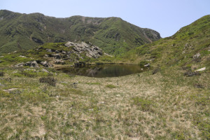
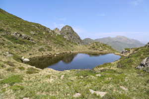
After the descent, I reach a small unnamed lake that I have decided to call Laghetto di Sommafiume, given its proximity to the pass and the refuge of the same name. Perhaps someone already calls it that. After passing the lake, I continue to Bocchetta di Sommafiume where, looking towards Italy, I see a stream about 80 metres away. I go to take a look and find a beautiful spring that allows me to replenish my water supplies (see map of the trip).
Returning back, I climb along the path that leads to Cima Verta, then descend to the point at an altitude of 1993 metres. I then return to Bocchetta di Sommafiume where I take the path that leads me back to the alp at an altitude of 1761 metres. Finally, I descend to Alpe di Giumello where this trip ends.
Water (Automatic translation in english)
There is a fountain with a tap at Alpe di Giumello and then a spring near Bocchetta di Sommafiume, just outside Italy (see map). On my return, I also found a beautiful spring on the Swiss side of the pass, at an altitude of 1,860 metres (see map).
Map of the Path


Summits




Comments (0)