
Fibbia
Information
| Date: | 4 July 2025 |
| Maximum height: | 2739 m |
| Difference in height: | 660 m |
| Length: | 7 km |
| Kilometers effort: | 15.8 kmef |
| Duration: | 4 hours and 30 minutes |
| Lakes reached: | Lago della Valletta di San Gottardo Q2387 |
| Lago della Valletta di San Gottardo Q2390 |
Difficulties (Automatic translation in english)

|
From the Gotthard Pass up to the altitude of 2330 metres (with some T2+ passages). |

|
From the altitude of 2,330 metres to the small lake at the altitude of 2,387 metres. |

|
From the lake up to the altitude of 2470 metres. |

|
From the altitude of 2470 metres to the summit of Fibbia. |
Comment (Automatic translation in english)
La Fibbia is a mountain located near the San Gottardo Pass, which is often reached on skis in winter. As I don't practise ski touring, I prefer to go there in summer, even though the climb is probably more tiring.
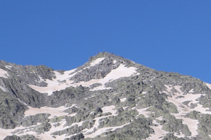
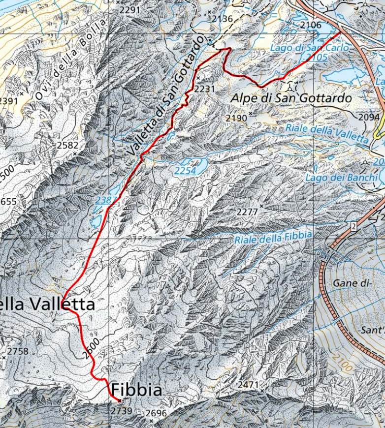
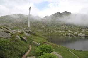
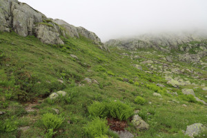
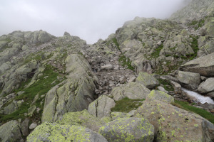
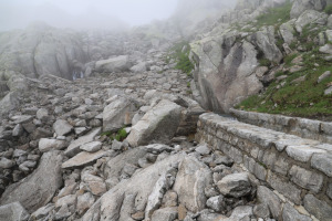
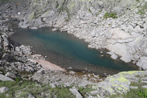
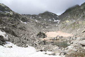
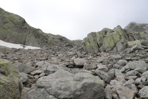
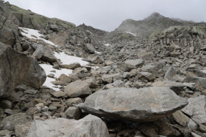
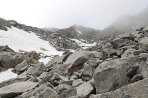
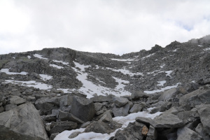
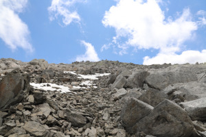
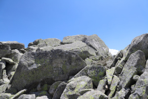
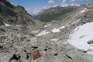
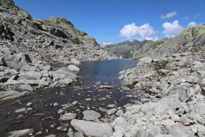
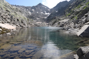
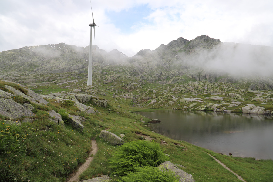
First, I reach the pass, where I find a lay-by to leave my car. Unfortunately, the weather is not as good as expected and at one point it even starts to drizzle slightly. I try to set off anyway, hoping for an improvement, and start walking south-west, alongside Lake San Carlo, until I reach the path near Alpe di San Gottardo. I then follow it to the right until I reach Valletta di San Gottardo, which I start to climb. Up to an altitude of 2330 metres, the path is quite visible, then you can still see a trail that climbs up to the small lakes. These lakes do not have an official name, but some people call them the Laghi della Valletta di San Gottardo. There is one at an altitude of 2387 metres and another slightly higher at 2390 metres. Once past them, the terrain becomes much rockier and I soon reach a stony area that I climb southwards. A few patches of snow make the climb a little easier, but unfortunately there are not many of them. There are also cairns to indicate the route to follow, at least up to an altitude of 2600 metres. Then I can no longer find them, but the summit is not far away and the route to follow is fairly logical.
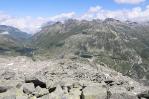
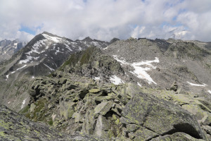
When I reach the summit of Fibbia, I find a totalising rain gauge, which is used to measure the total rainfall in a year, with an empty mess tin attached to it, but no summit book. The view over the Leventina Valley and Val Bedretto is very beautiful, also because the weather has improved and the fog that was present in the morning has disappeared.
I stop for lunch and then descend to the San Gottardo Pass, following the same route as on the way up.
Water (Automatic translation in english)
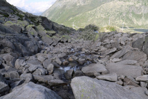
There is a river that flows from an altitude of 2,200 metres down to the lakes of the Valletta di San Gottardo. I also found a few small streams, but these were caused by melting snow and were therefore temporary.
Map of the Path


Summits

Lakes




Comments (0)