
Cima di Gana Bianca
Information
| Date: | 24 August 2005 |
| Maximum height: | 2842.3 m |
| Difference in height: | 1800 m |
| Length: | 19 km |
| Kilometers effort: | 43 kmef |
| Duration: | 9 hours |
| Huts reached: | Capanna Prou |
Difficulties (Automatic translation in english)

|
From Dagro to Alpe Pièi (T1 the first section on the road). |

|
From Alpe Pièi to the summit. |
Comment (Automatic translation in english)
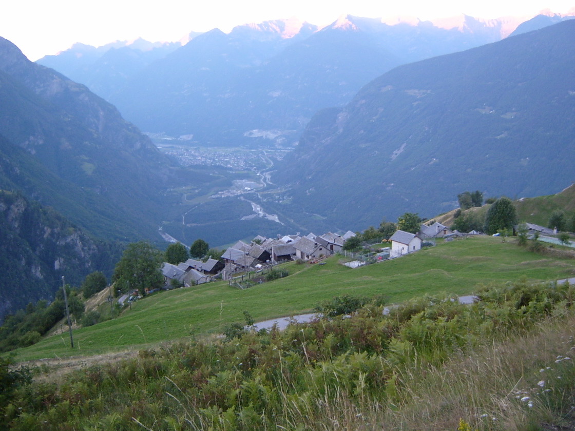
The excursion begins in Dagro where, just near the cable car, there is a nice parking area.
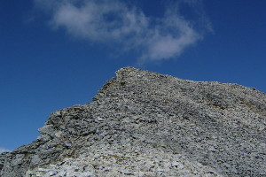
Beginning to climb you get to Cascina di Dagro where I took the path to the Alpe di Cióu, although if you want you can go directly to the alp of Prou. Once there, take the path to Lavill. It is not a very busy path and it is therefore a bit difficult to find it at the beginning. Later the path improves and you reach up to the alpes pièi. From here starts the off-piste through the huge stone (Gana Bianca) that leads to the summit.
The easiest way is the South-East ridge, as marked on the map. The way back is more or less the same.
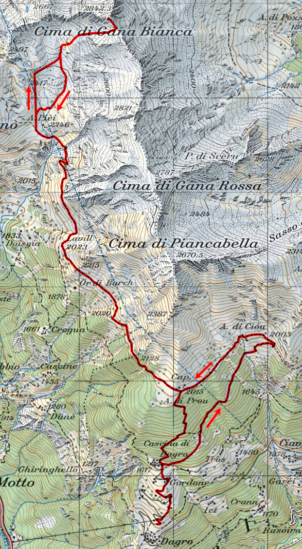
Map of the Path

Summits
Huts


Comments (1)