
Gazzirola
Information
| Date: | 14 May 2006 |
| Maximum height: | 2116 m |
| Difference in height: | 1150 m |
| Length: | 8.8 km |
| Kilometers effort: | 24.1 kmef |
| Duration: | 6 hours |
| For the following peak, there are other variants of the ascent: | Gazzirola |
Difficulties (Automatic translation in english)

|
From Cozzo to the altitude of 1506 metres. |

|
From the altitude of 1506 metres to 2075.1 metres. |
|
|
From the altitude of 2075.1 metres to the summit and then back to Cozzo. |
Comment (Automatic translation in english)
The route starts from Cozzo, at the bottom of Val Colla, where there is a parking lot for 6 or 7 cars.
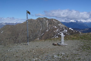
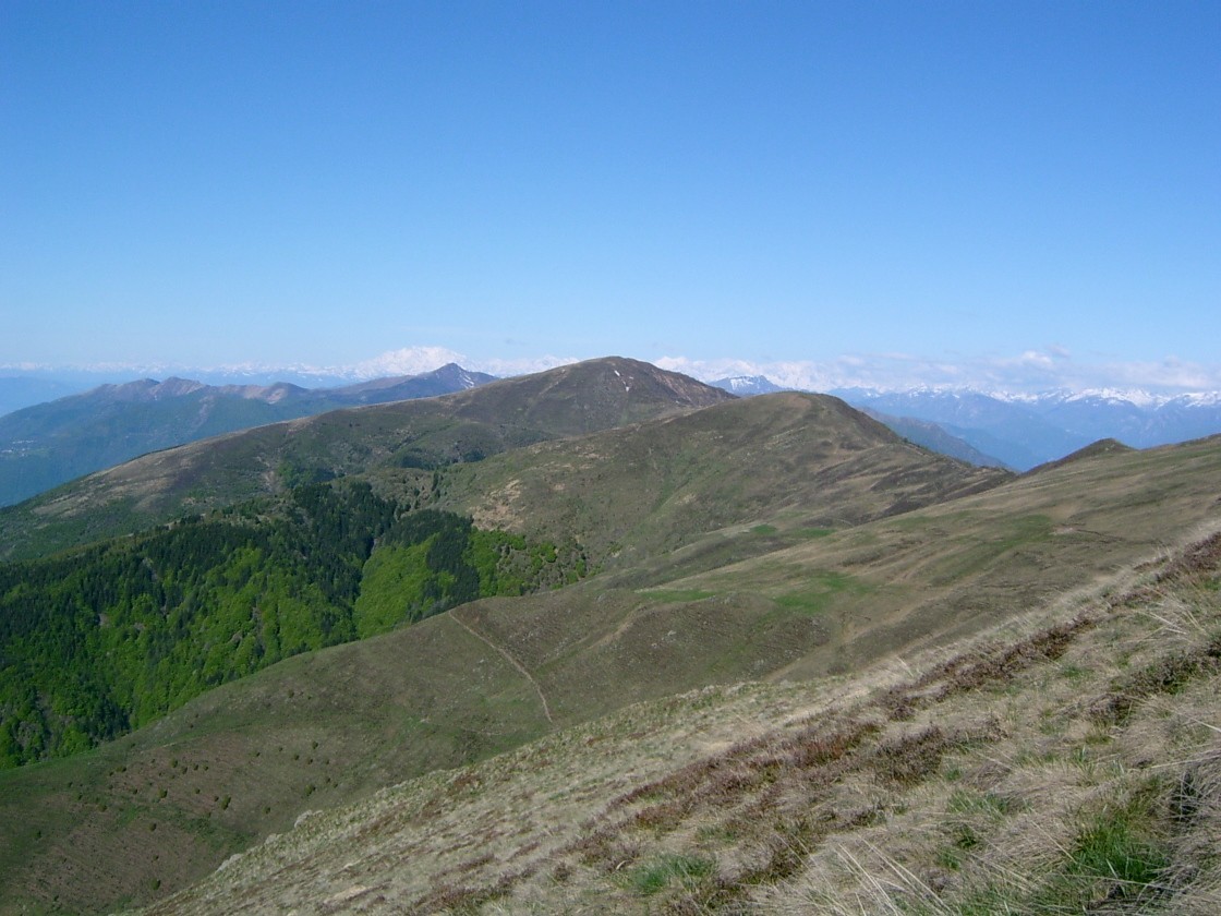
From here the trail starts with a moderate slope, up to 1500 meters. At this point we must be careful not to be deceived by the huge cross placed on a summit at an altitude of 2075, which attracts hikers out of the right path. In fact, on Gazzirola there is only a sign and a stone. After reaching this cross and then the Gazzirola, I left immediately because of the strong wind. For the return I followed the ridge entirely in Switzerland and then rejoin the path traveled during the first leg.
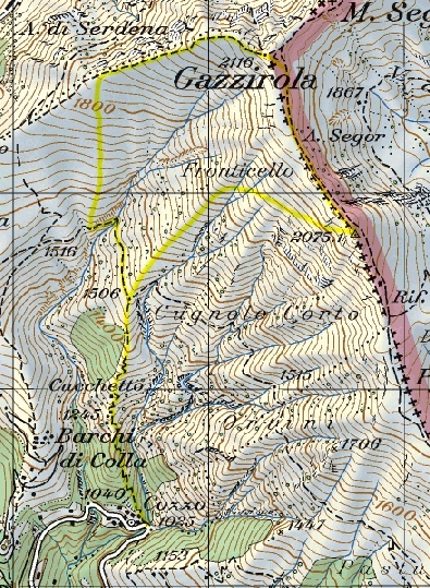
Map of the Path

Summits


Comments (0)