
Giübin, Posmeda e Pizzo Canariscio

Information
| Date: | 14 June 2022 |
| Maximum height: | 2776 m |
| Difference in height: | 850 m |
| Length: | 15 km |
| Kilometers effort: | 26.3 kmef |
| Duration: | 6 hours |
| Lakes reached: | Laghetto degli Ovi Settentrionale |
| Laghetto degli Ovi Meridionale |
| For the following peak, there are other variants of the ascent: | Giübin |
Difficulties (Automatic translation in english)

|
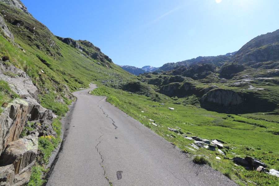
From the Gotthard Pass to the Sella Lake dam. |

|
From the dam to the top of Giübin (with some T2+ passages after the Posmeda Pass). |
|
|
From Passo Posmeda to Alpe di Sorescia (with some T2+ passages, especially before the fork at the altitude of 2165 metres). |
|
|
From the Alpe di Sorescia to the Gotthard Pass. |
Comment (Automatic translation in english)
After having been there exactly one month ago, today I return to the Gotthard region, this time to climb Giübin and some surrounding mountains.
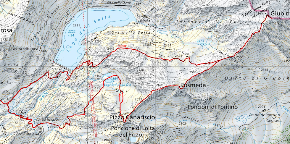
I start walking from the Gotthard Pass along the road to Lake Sella. I then take the path up to the Posmeda Pass and continue to the top of the Giübin. Along the way there are several military barracks with their roofs covered with grass and stones to better disguise them. I will then find more along the ridge leading to Pizzo Canariscio.
For the return trip, after descending again to the Posmeda Pass, I decide to follow the ridge to the summit at an altitude of 2596 metres where I find a heart-shaped sculpture. I then continue to the summit of Posmeda and on to Pizzo Canariscio. All this path, although it is not official, is quite visible and does not present any difficulties. From the Pizzo I then descend along easy grassy slopes to the Laghetti degli Ovi. At this point I could have descended immediately to the Lago della Sella, but I was very interested in seeing the Alpe di Sorescia and so I set off again towards the south-west. After reaching a small, unnamed lake, I continued along the slight track to the Ovi di Scimfuss. I then abandoned it in order to descend along an easy gully and reach another track that took me to the crossroads at 2165 metres. At that point, following the road, I reached the Alpe di Sorescia from where I continued back to the starting point.
Water (Automatic translation in english)
There are no fountains, not even at the Gotthard Pass. There are, however, a few streams above the Laghetti degli Ovi and little else.
Map of the Path

Summits
Lakes


Comments (0)