
Klein Furkahorn
Information
| Date: | 10 July 2010 |
| Maximum height: | 3026 m |
| Difference in height: | 620 m |
| Length: | 5 km |
| Kilometers effort: | 13.2 kmef |
| Duration: | 3 hours and 30 minutes |
Difficulties (Automatic translation in english)

|
From the Furka Pass to the altitude of 2720 metres on the northern trail. |

|
From the altitude of 2720 metres to the pass at 2790 metres. |

|
From the pass to the summit of the Klein Furkahorn and back. |
|
|
From the pass at the altitude of 2790 metres to the Furka Pass on the southern trail. |
Comment (Automatic translation in english)
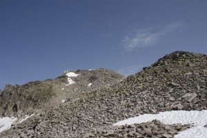
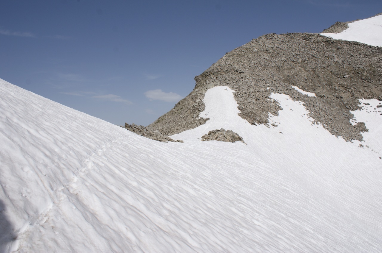
For this trip you can leave the car before the Furka Pass, on the Uranian side, where there is a large parking lot, however, very used. For the climb you can choose between two paths. The northern one is less marked and less visible than the other, especially in the last 80 meters before the opening. From here you climb up to the summit on a trail that becomes less and less until it disappears. Even the white-blue-white signs at about 2900 meters disappear. However, there are no problems to find a way to climb as the south-west slope of the ridge is not too steep. On the way back, follow the same path up to the nozzle and from there you can take the southern path, which is more convenient than the other, which takes you back to the pass.
Water (Automatic translation in english)
There are streams up to 2700 metres, then only snow.
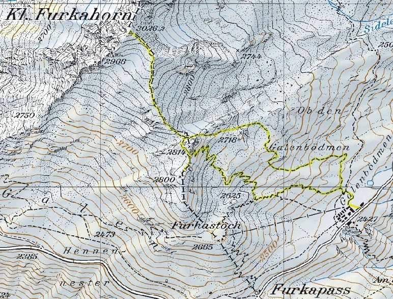
Map of the Path

Summits


Comments (0)