
Lago delle Pigne

Information
| Date: | 27 August 2019 |
| Maximum height: | 2277 m |
| Difference in height: | 350 m |
| Length: | 6.5 km |
| Kilometers effort: | 11.1 kmef |
| Duration: | 2 hours and 40 minutes |
| Lakes reached: | Lago delle Pigne |
Difficulties (Automatic translation in english)

|
From the car park to Lago delle Pigne (with some T2+ passages) |

|
The descent along the northern trail to the altitude of 2100 metres (with some T3 passages). |
|
|
The return to the parking area. |
Comment (Automatic translation in english)
Today's excursion takes place in Val Bedretto and the destination is Lago delle Pigne, above the village of All'Acqua.
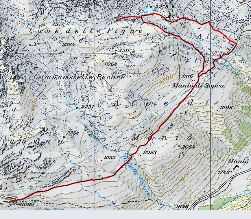
First you have to follow the Nufenen Pass road up to the hairpin bend at an altitude of 2099 metres. Just before the bend there is a car park where you can leave your car. Alternatively, it is also possible to park further down, near the Alpe di Cruina.
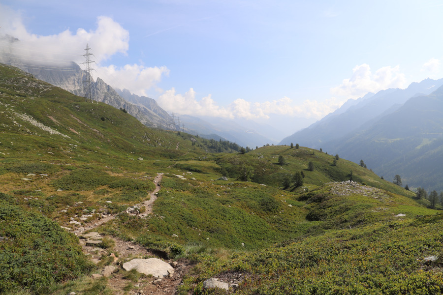
From the hairpin bend, start walking along the path towards Piansecco Hut. After 2 km of fake flat, with some ups and downs, you reach Manió di Sopra.
From here begins the real climb that takes us, after about 200 meters of difference in height, to Lago delle Pigne.
This lake takes its name from the nearby Cava delle Pigne, located about 500 meters west of the lake, where until a century ago the soapstone was extracted. This stone was used to create various objects, including the Pigne, an ancient wood-burning stove in Val Bedretto.
For the return we wanted to try to take the other path that goes down from the lake, further north of the first. This path, however, is more challenging than the one to the south and has some passages on stone. Halfway along the path we decided to leave it and go directly down, along the meadows, to an altitude of 2100 meters where we found the path from the Piansecco Hut.
From here we returned in about an hour to the parking lot at an altitude of 2099 meters.
Water (Automatic translation in english)
There are several rivers that flow down from Lake Pigne.
Map of the Path

Lakes
Other


Comments (0)