
Lai Blau - Lago Blu
Information
| Date: | 15 September 2019 |
| Maximum height: | 2450 m |
| Difference in height: | 600 m |
| Length: | 8 km |
| Kilometers effort: | 16 kmef |
| Duration: | 5 hours |
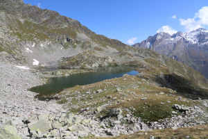
| Lakes reached: | Lai Blau |
Difficulties (Automatic translation in english)

|
From the dam to the altitude of 1941 metres. |

|
From the altitude of 1941 metres to the Lai Blau. |

|
From Lai Blau to the small lakes. |
Comment (Automatic translation in english)
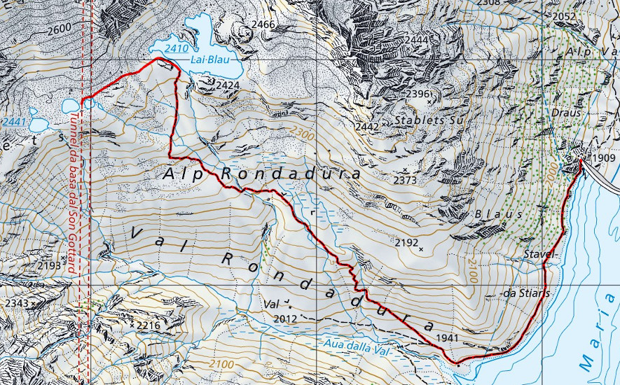
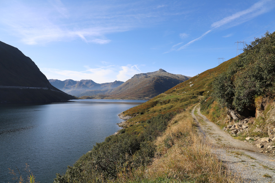
Just below the Lukmanier Pass, in Graubunden territory, there is the dam of Lake Santa Maria, at the end of which the road that runs along the lake starts.
We follow it to the south and after about 1 km we reach Val Rondadura where the road turns into a path.
We climb up the valley towards the Rondadura meadow where there is a large flat terrace. After the alp we start to climb again until we finally reach the Lai Blau, or Blue Lake in English.
At this point we decide to climb to the 2 lakes just above the main lake. After the first stretch on grass, we continue on land mixed with rocks and in a short time we reach the goal.
For the return we follow the way back.
Water (Automatic translation in english)
Along the route there is a bit of everything, especially from an altitude of 2,000 metres upwards.
Map of the Path

Lakes
Other


Comments (0)