
Munzzelümm e Pizzo Zucchero
Information
| Date: | 14 October 2026 |
| Maximum height: | 2060 m |
| Difference in height: | 550 m |
| Length: | 7.5 km |
| Kilometers effort: | 14.8 kmef |
| Duration: | 3 hours and 30 minutes |
| Huts reached: | Capanna Salei |
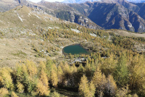
| Lakes reached: | Laghetto dei Salèi |
Difficulties (Automatic translation in english)

|
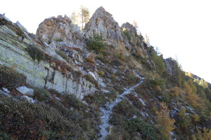
From the Capanna Salei to the pass at the altitude of 1,975 metres. |

|
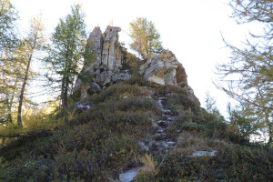
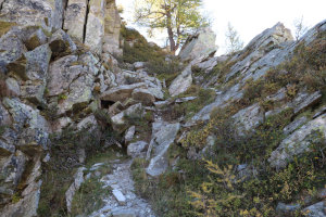
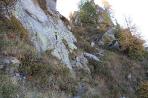
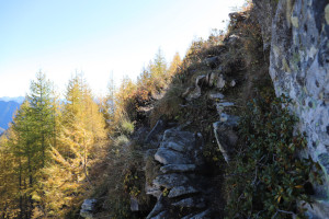
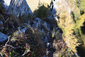
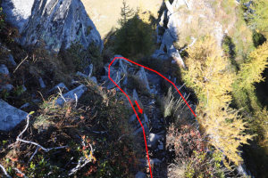
The ascent of Munzzelümm from the north (with a T4 section and Grade I climbing at the altitude of 2,026 metres). |
|
|
The return to the Capanna Salei and then the climb to Pizzo Zucchero. |
Comment (Automatic translation in english)
Having visited the area last year, I’m returning today to the Capanna Salei region to climb the last two peaks I have yet to conquer: the Munzzelümm and the Pizzo Zucchero.
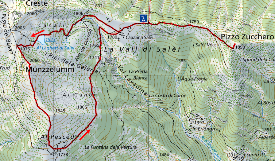
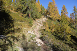
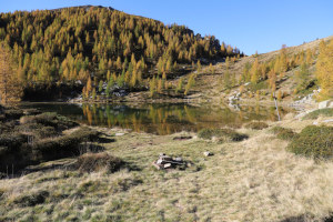
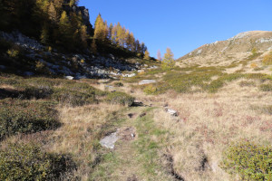
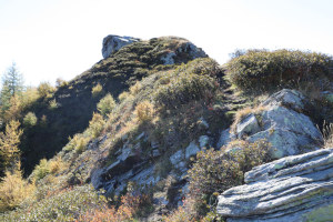
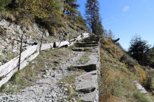
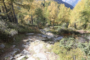
First, I take the cable car from the Vergeletto Valley almost all the way up to the hut (20 francs return). I then follow the path leading to Laghetto dei Salèi before continuing on to the pass at an altitude of 1,975 metres. At that point, I turn left and begin the ascent, following a faint track, towards Munzzelümm. The ascent isn’t too difficult and there is only one section, at an altitude of 2,026 metres, where there is a short Grade I climbing section.
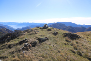
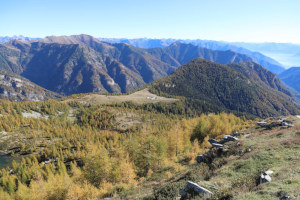
Once at the summit, I can enjoy a stunning view, both towards the lake and towards the Onsernone Valley. In the distance, I can even see Lake Maggiore.
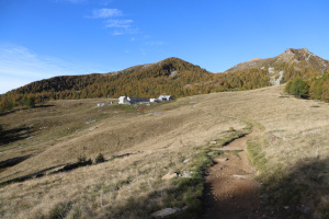
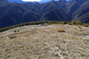
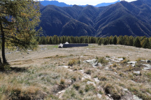
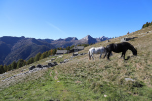
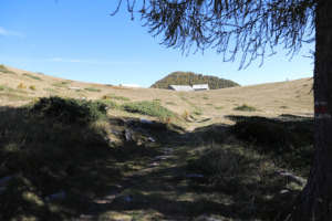
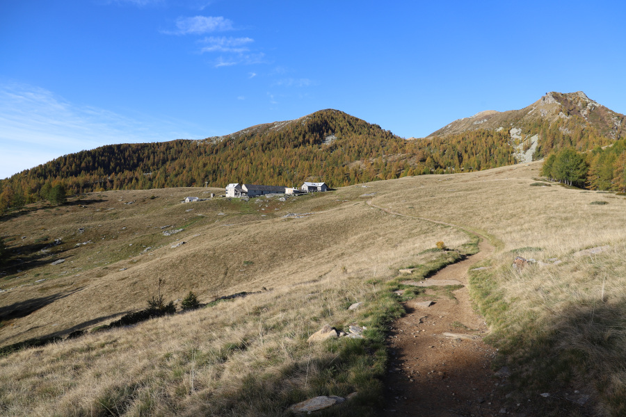
The descent down the south-facing side of the mountain is much easier than the ascent and takes place across gently sloping meadows. Following the path down that side, I reach Alpe Pesced, where there are still a few goats and a couple of horses. I then head north-east until I return once more to the Salei Hut and the cable car top station.
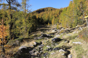
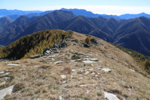
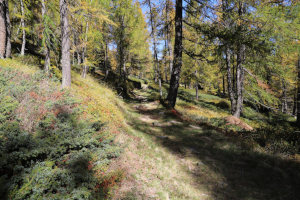
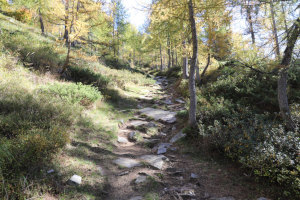
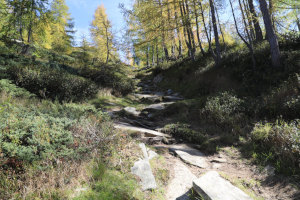
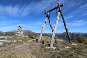
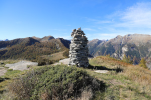
The trip isn’t over yet, though, as I still have the second peak of the day to tackle. I therefore head, on a gentle descent, towards the junction at an altitude of 1,750 metres, after which I carry on towards Pizzo Zucchero. The climb is a bit steeper than I’d expected from looking at the national map, but the path is still easy to follow. After passing through the larch forest, I reach the summit, where I find a large cairn and a swing from the ‘Swing the World’ project. The view is just as beautiful as the one I enjoyed on Munzzelümm.
After a short break, I head back down the same route I took on the way up until I reach the cable car, which takes me back down to the valley.
Water (Automatic translation in english)
There is a fountain just above the Capanna Salei and another one 100 metres north-east of Alpe Pesced. There is also one at the cable car station in Zott.
Map of the Path


Summits

Huts

Lakes




Comments (0)