
Piz Curnera
Information
| Date: | 11 August 2025 |
| Maximum height: | 2796 m |
| Difference in height: | 1020 m |
| Length: | 13.5 km |
| Kilometers effort: | 27.1 kmef |
| Duration: | 6 hours and 30 minutes |
| Huts reached: | Capanna Cadlimo |
| Lakes reached: | Lago Cadagno |
| Laghetto di Taneda Inferiore | |
| Laghetto di Taneda Superiore | |
| Lago Scuro | |
| Lago di Dentro di Cadlimo |
Difficulties (Automatic translation in english)

|
From Cadagno to Bassa del Lago Scuro (with some T2+ passages). |

|
From Bassa del Lago Scuro to Capanna Cadlimo and then up to the altitude of 2720 metres (with some T3 passages). |

|
The final stretch to the summit of Piz Curnera (with a few short T4 passages and grade I climbing). |
Comment (Automatic translation in english)
Piz Curnera is a mountain located on the border between Val Cadlimo, Val Canaria and the Canton of Grisons. The easiest way to reach it is to start from Cadagno, in the Lake Ritóm region, where there is a large paid car park (15 Swiss francs for the whole day). However, you need to be careful because the road leading to it is closed after 9:00 a.m. If you arrive too late, you will have to stop at the dam.
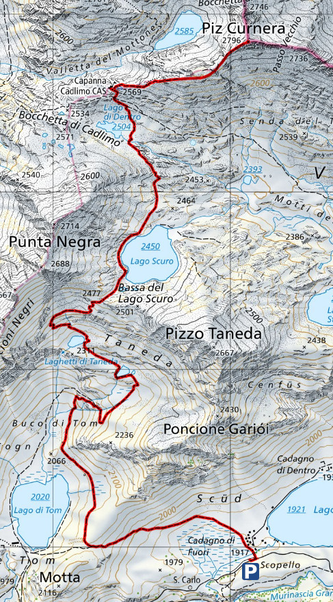
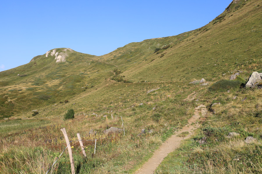
From Cadagno, I start walking along the path that climbs towards Lake Tom and then turns north. I then reach the Taneda Lakes and continue until I pass Bassa del Lago Scuro. At that point, the path becomes a little flatter and after about a kilometre and a half, I arrive at Capanna Cadlimo.
After a short break, I set off again, following the path that leads to Passo Bornengo. At an altitude of 1612 metres, I leave the path and continue along the easy grassy slope that climbs eastwards. At a certain point, to the left, the splendid Lago Curnera appears, located a hundred metres below where I am. What is most striking is its beautiful intense blue colour, which contrasts with the surrounding rocks, which are light grey in colour. The name is not official but is used by many people.
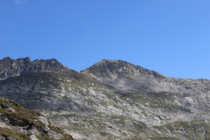
At an altitude of 2720 metres, the ridge begins to become steeper and, 30 metres higher up, even rockier. After the last stretch, I reach the summit, where there is a large cairn. In front of me now is Val Curnera, from which the peak I am standing on takes its name.
For the return journey, I follow exactly the same route as on the way up, but in reverse.
Water (Automatic translation in english)
There is a fountain in Cadagno, just beyond the village centre, and then some streams to the west of Lago Scuro.
Map of the Path

Summits
Huts
Lakes


Comments (0)