
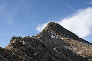
Pizzo del Sole
Information
| Date: | 23 September 2011 |
| Maximum height: | 2773 m |
| Difference in height: | 1180 m |
| Length: | 16.3 km |
| Kilometers effort: | 32 kmef |
| Duration: | 8 hours |
| Lakes reached: | Lago dei Canali |
Difficulties (Automatic translation in english)

|
From Acquacalda to the Passo del Sole. |

|
From the Passo del Sole to the summit and from there to the Bassa di Söu (T4+ the last section below the Bassa di Pos Lèi). |

|
From the Bassa di Söu to the Lago dei Canali. |
|
|
From Lago dei Canali to Acquacalda. |
Comment (Automatic translation in english)
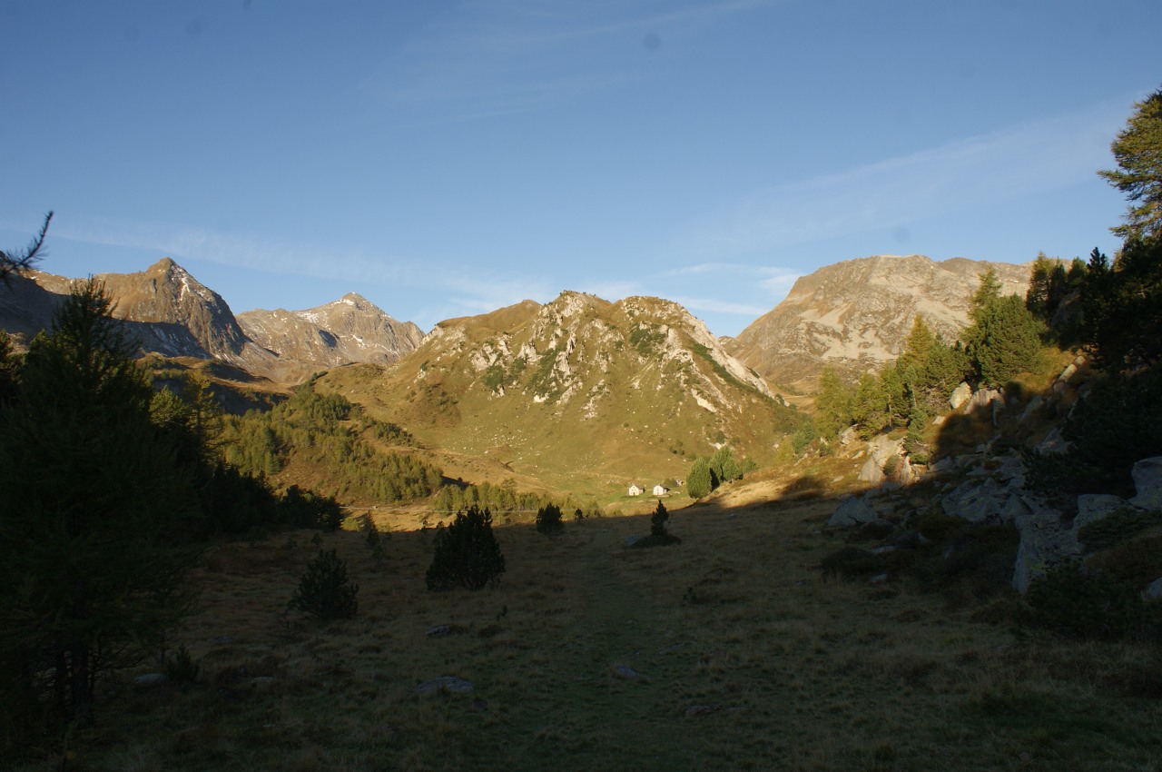
For this trip you can leave the car just before Acquacalda, where there is a small parking area. Climb the road up to the aforementioned locality and take the path that crosses the Selva Secca. Reached Lareccio, continue in the direction of Passo del Sole on easy paths. After passing the pass you descend the other side for about twenty meters and then leave the road to continue through the scree towards Lake Pécian. We then begin to climb the stone to the Bassa di Pos Lèi, which presents in the last twenty meters some rocky plaques that in our case were almost insuperable due to the ice. Once you reach the bocchetta, you pass a small stretch of rocky ridge and then continue on grassy slopes, following a trail of the path up to the summit. Then you go back down, among the pebbles, towards the Pipe and from there to the Bassa di Söu. Then continue towards the Canali Lake where the rocks soon give way to the meadows. Returning to the path we return to Lareccio and, to vary the landscape a bit, we continue towards Stabbio Nuovo to finally reach, again, Acquacalda.
Water (Automatic translation in english)
There is a fountain in the group of houses south-west of Acquacalda and another in Stabbio Nuovo. There are also streams southwest of Passo del Sole and others in the area of Lago dei Canali.
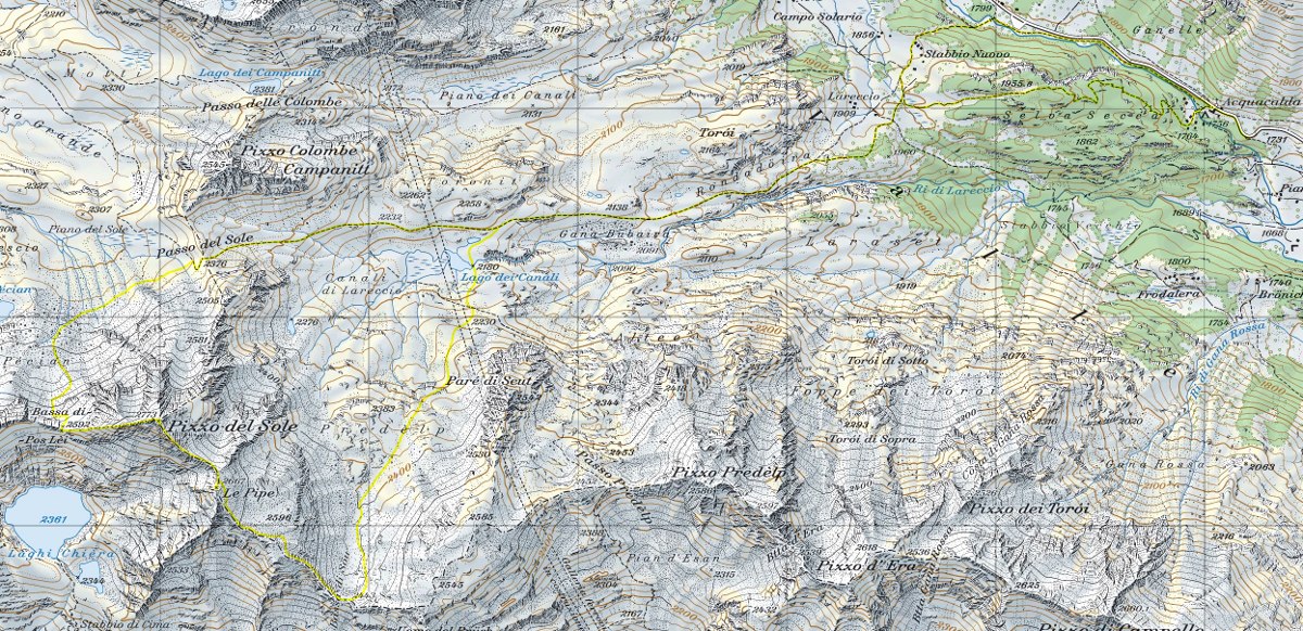
Map of the Path

Summits
Lakes


Comments (0)