
Punta Negra
Information
| Date: | 19 August 2026 |
| Maximum height: | 2714 m |
| Difference in height: | 920 m |
| Length: | 10.8 km |
| Kilometers effort: | 23 kmef |
| Duration: | 5 hours and 30 minutes |
| Lakes reached: | Lago Cadagno |
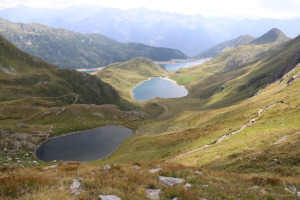
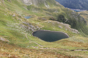
| Laghetto di Taneda Inferiore | |
| Laghetto di Taneda Superiore | |
| Lago Scuro |
Difficulties (Automatic translation in english)

|
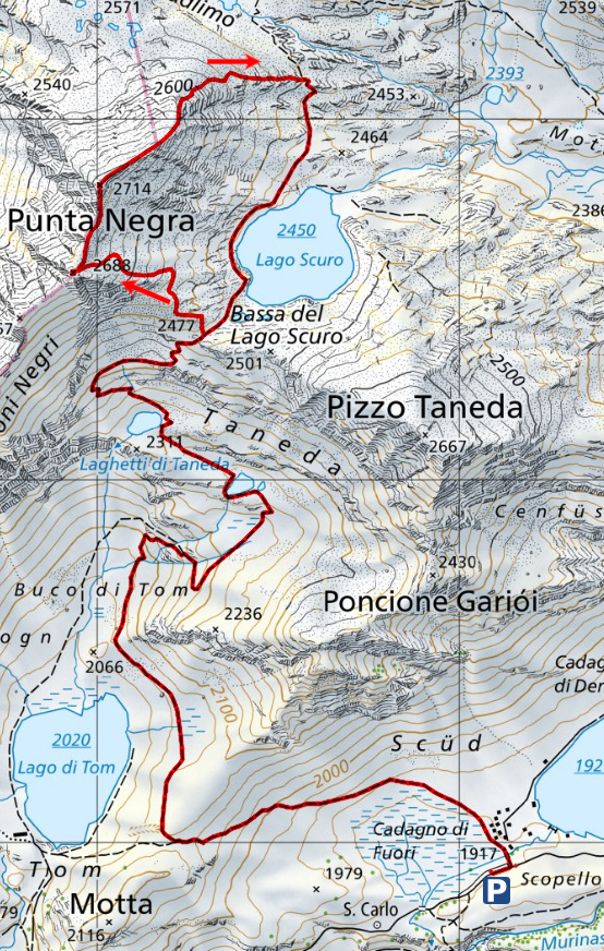
From Cadagno to the Bassa del Lago Scuro (with a few T2+ sections). |

|
From the Bassa del Lago Scuro to the southern secondary summit of Punta Negra and then up to the altitude of 2,702 metres. |

|
The final stretch to the summit of Punta Negra, followed by the descent north-eastwards to the altitude of 2,640 metres. |
|
|
The descent to the path at the altitude of 2,500 metres. |
|
|
The return to the Bassa del Lago Scuro (with a few T2+ sections). |
Comment (Automatic translation in english)
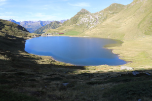
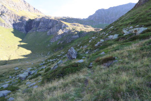
Punta Negra is a mountain situated on the border between Val Piora, Val Cadlimo and Val Canaria. To climb it, I’ll do as I did last year, when I went to Piz Curnera, and set off from Cadagno, following the same route as far as Bassa del Lago Scuro. To keep this brief, I’ll therefore skip the description of the first part of the ascent.
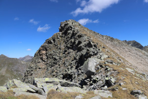
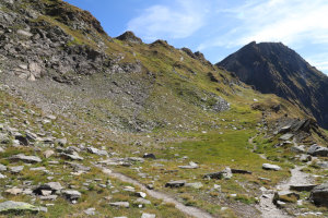
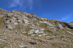
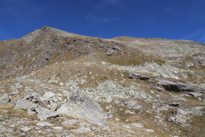
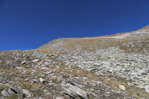
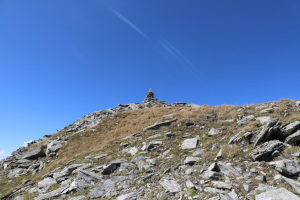
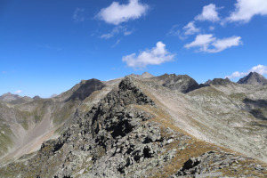
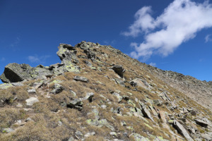
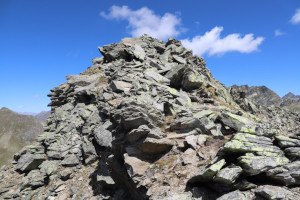
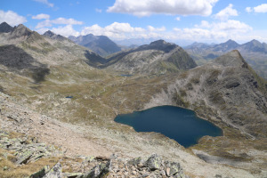
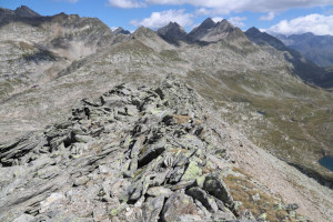
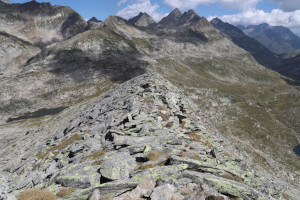
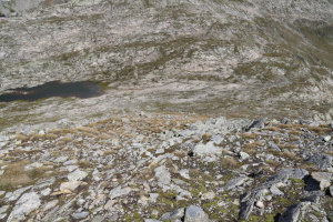
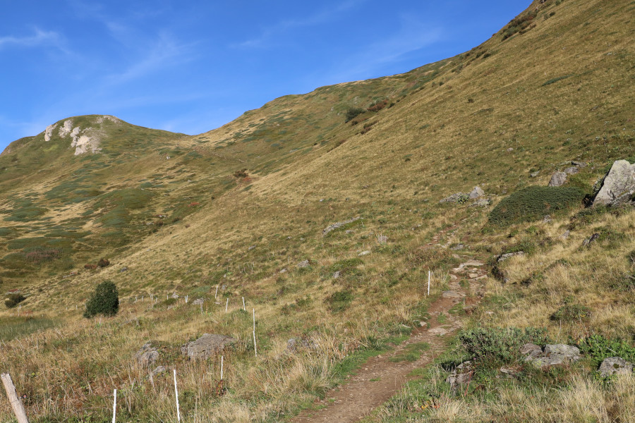
Once I reach the Bassa, I leave the path and begin to climb westwards. The slope is not difficult and is largely covered in grass, whilst the rocks can generally be bypassed. After climbing for about 200 metres, I reach the southern secondary summit of Punta Negra, at an altitude of 2,688 metres, where I take a short break. I then set off northwards, following the easy ridge that takes me to the base of the main summit. I then begin to climb it, staying on the right-hand side of the ridge where there is still some grass, at least up to an altitude of 2,702 metres. The final stretch, on the other hand, is almost entirely rocky but still fairly easy to climb.
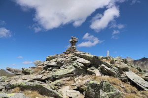
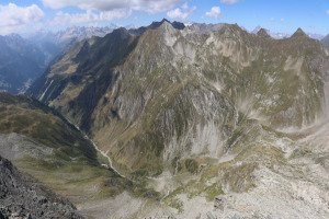
Once at the summit, I can admire a beautiful view over the Val Cadlimo and the Val Canaria. In the distance, I can also make out the Capanna Cadlimo.
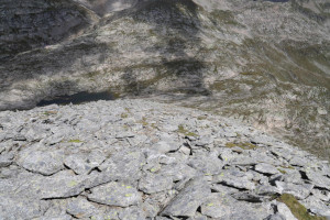
For the return journey, I choose to follow the rocky ridge north-eastwards and then descend to the path between Lago Scuro and Lago di Dentro di Cadlimo. The rocks are mainly found in the first part of the descent, whilst below an altitude of 2,640 metres the path becomes quite grassy again.
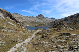
Once I reach the path, I follow it southwards until I return to Bassa del Lago Scuro, after which, following the same route as on the way up, I descend once more to Cadagno, where this hike ends.
Water (Automatic translation in english)
There is a fountain in Cadagno, just beyond the village centre, and then a few streams to the west of Lago Scuro.
Map of the Path


Summits

Lakes




Comments (0)