
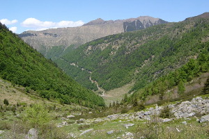
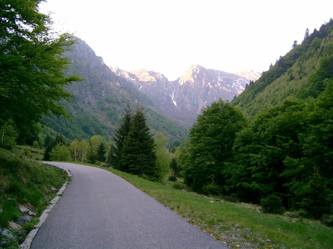
Valle Morobbia
Information
| Date: | 12 May 2007 |
| Maximum height: | 2082 m |
| Difference in height: | 1300 m |
| Length: | 16.2 km |
| Kilometers effort: | 33.5 kmef |
| Duration: | 8 hours |
Difficulties (Automatic translation in english)

|
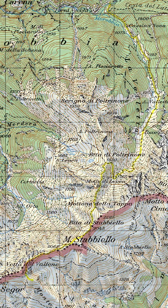
From the barrier to Alpe Valletta. |

|
From Alpe Valletta to Bocchetta di Stabbiello. |

|
From the Bocchetta di Stabbiello to below the Vetta del Vallone. |
Comment (Automatic translation in english)
For this tour you can start from the parking lots (many) before the bar. Going up the whole Valletta up to Mount Stabbiello, the path is well marked but then, on the ridge, it becomes somewhat lacking. There was no water, except at the beginning, up to Alpe Valletta. On the contrary, there is always a lot of wind in this area, and it is quite annoying.
Map of the Path

Other


Comments (0)