
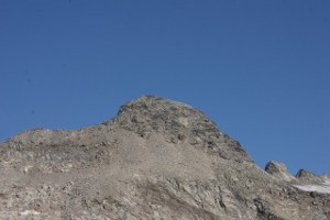
Cima di Camadra
Information
| Date: | 20 August 2011 |
| Maximum height: | 3172.4 m |
| Difference in height: | 1220 m |
| Length: | 8.5 km |
| Kilometers effort: | 24.7 kmef |
| Duration: | 7 hours |
| For the following peak, there are other variants of the ascent: | Cima di Camadra |
Difficulties (Automatic translation in english)

|
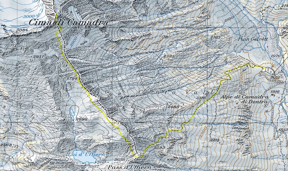
From Pian Geirètt to Pass d'Uffiern. |

|
From Pass d'Uffiern to the summit. |
Comment (Automatic translation in english)
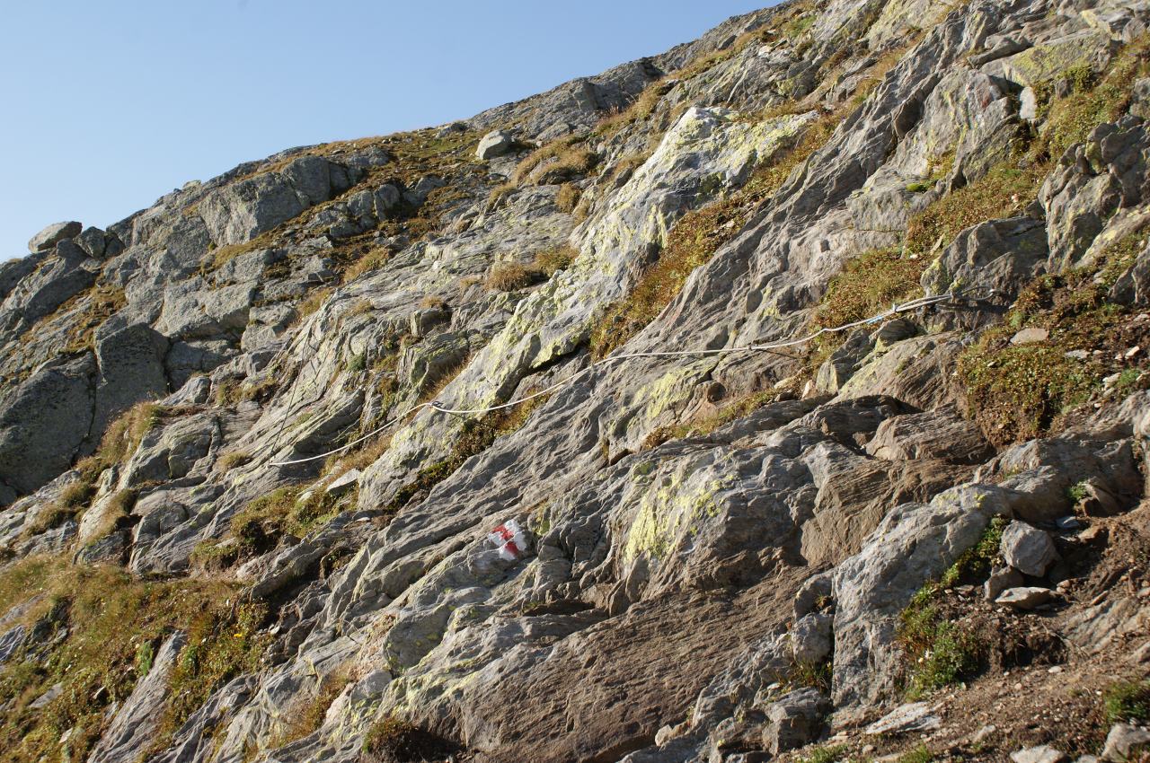
Reached Pian Geirètt by car (no transit) or by bus, continue in the direction of the Pass of Uffiern. The trail is well signposted although it does not always follow the best route. It crosses in fact some rocks that would have easily been bypassed. There is also a passage on rock, equipped with a rope. Arrived at the pass we had the surprise to see a dog for the protection of the flocks. He arrived from Val Camadra and went to Lai d'Uffiern. Immediately after him came the sheep, who followed him as if he were the leader. From the pass, continue towards N-N-W, remaining approximately on the border between Graubünden and Ticino. You can follow the old blue signs, now almost disappeared, strengthened by some little men of stone. It reaches the summit from the south, on gravel alternating with badly fixed rocks.
Water (Automatic translation in english)
There is a river around the altitude of 2350 metres. Then there are several streams from an altitude of 2,800 to 3,000 metres caused by melting snow.
Map of the Path

Summits


Comments (0)