
Cima delle Donne
Information
| Date: | 18 August 2025 |
| Maximum height: | 2723 m |
| Difference in height: | 560 m |
| Length: | 9.3 km |
| Kilometers effort: | 16.7 kmef |
| Duration: | 4 hours |
| Lakes reached: | Lago del Corbo |
| Lago del Corbo Superiore | |
| Lago del Coro |
Difficulties (Automatic translation in english)

|
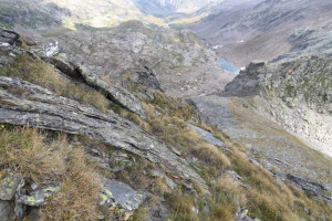
From Lake Naret to the start of the scree slope in Val del Coro (point 1) (with some T2+ passages). |

|
From Val del Coro to the east-southeast ridge of Cima delle Donne, at the altitude of 2650 metres (with some T3+ passages). |

|
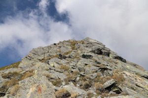
The last 70 metres, quite steep, to the summit (with some grade I climbing passages). |
|
|
On the way back, the descent from the altitude of 2486 metres to Lake Naret (with some T2+ passages). |
Comment (Automatic translation in english)
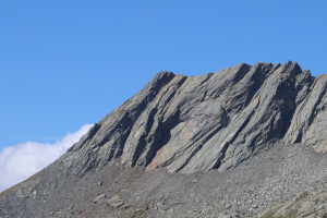
On the border between Val Bavona and Valle di Peccia, just north of Lago Nero, there is a mountain called Cima delle Donne. The easiest routes to reach it start from Robièi or Lago del Naret. I choose the latter because I visited the Robièi region just a month ago. Furthermore, on this side of the mountain there are some lakes to see that I have not yet visited.
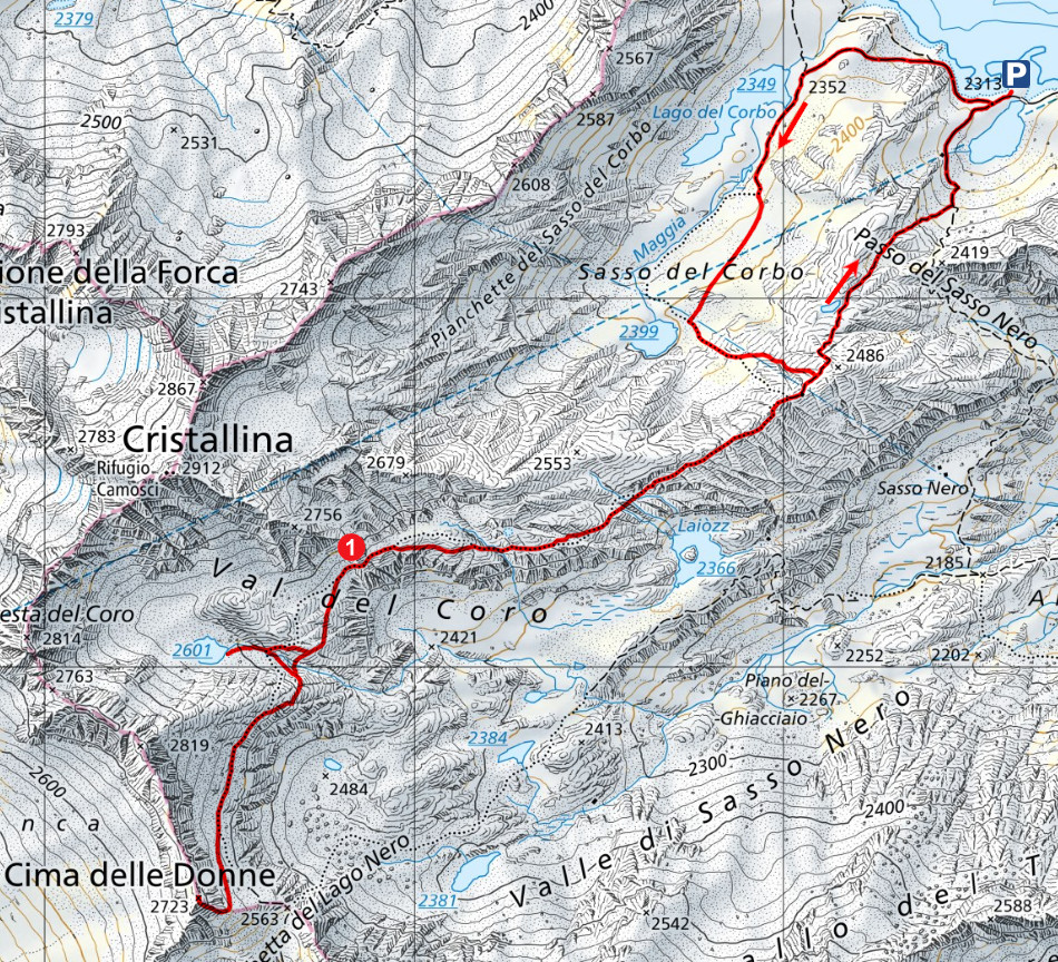
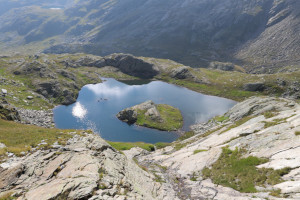
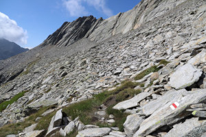
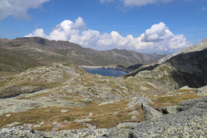
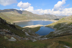
After arriving at Lago del Naret, I start walking along the dirt road that leads to Lago del Corbo. I then continue along the path until I reach Lago del Corbo Superiore (unofficial name), at an altitude of 2,399 metres. During the climb, I followed the red and white signs, which, however, do not pass exactly where indicated on the national map. Later on, I also find some discrepancies that can be seen on the map on this page.
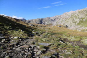
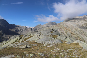
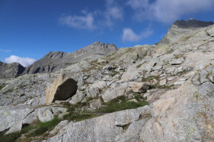
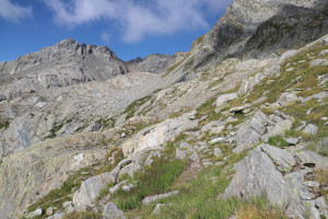
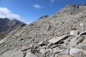
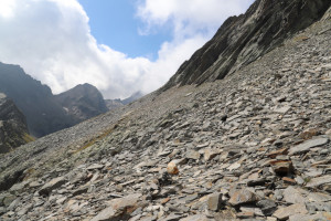
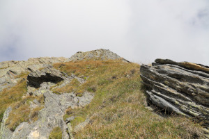
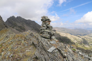
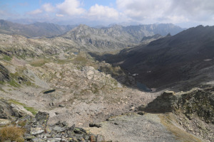
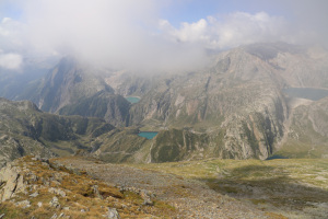
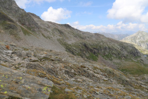
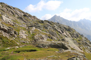
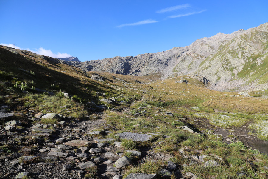
From the lake I have just reached, the trail then continues south-east, towards the point at an altitude of 2486 metres, until it joins the path coming from the Passo del Sasso Nero area. The route then continues to the right until it reaches Val del Coro, where the terrain becomes much rockier and there are several stretches of scree to cross. From this point, I follow the path for about another kilometre, but when it starts to descend towards Bocchetta del Lago Nero, I leave it and head towards the east-southeast ridge of Cima delle Donne. Once I reach it, I climb up a fairly steep slope, but fortunately it is not so rocky and can be climbed without too much difficulty. Once at the top, I enjoy the view over the Robièi region and the Sasso Nero Valley, even though the landscape is now partly hidden by clouds. Fortunately, however, they remain higher than where I am.
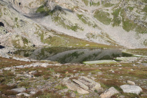
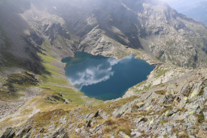
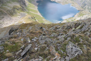
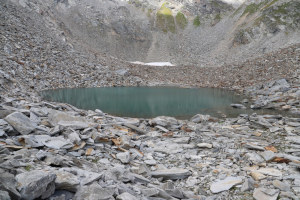
For the return journey, I follow the same route as on the way up, except for a small detour to see Lago del Coro at an altitude of 2,601 metres (not named on the national map). I then continue towards the point marked 2,486 metres, where I take the direct path down to Lago del Naret, where this excursion ends.
Water (Automatic translation in english)
There is a stream that flows out of Lake Coro, and then nothing else.
Map of the Path


Summits

Lakes




Comments (0)