
Cima di Biasca
Information
| Date: | 23 September 2026 |
| Maximum height: | 2574 m |
| Difference in height: | 730 m |
| Length: | 7.7 km |
| Kilometers effort: | 17.4 kmef |
| Duration: | 5 hours |
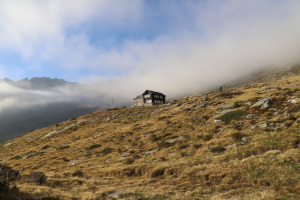
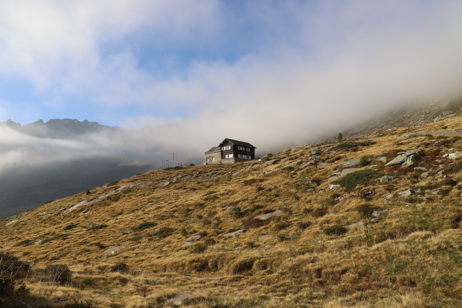
| Huts reached: | Capanna Cava |
| Lakes reached: | Laghetto di Cava Alto |
| Laghetto di Cava Basso |
Difficulties (Automatic translation in english)

|
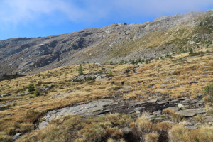
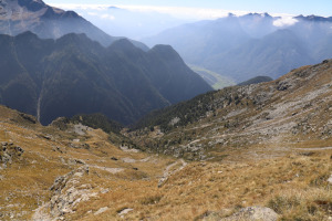
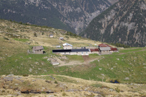
From the Alpe di Cava to the Laghetti di Cava. |
|
|
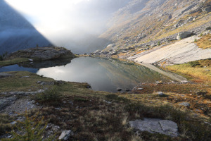
From the lakes to the spot where I left the path, at the altitude of 2,220 metres (with a few T2+ sections). |

|
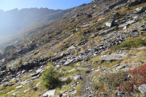
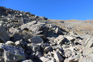
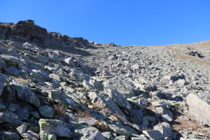
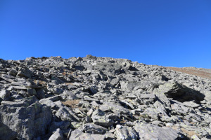
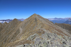
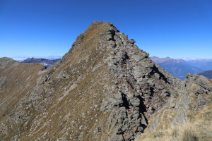
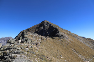
The climb up to Cima di Biasca (with a few T3+ sections). |
|
|
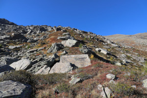
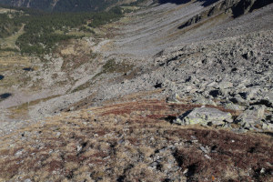
The descent from Cima di Biasca, keeping further to the north-west, down to the path at the altitude of 2,180 metres. |
Comment (Automatic translation in english)
Today I’m heading back to Val Pontirone to climb Cima di Biasca and perhaps even the nearby Cima di Lago.
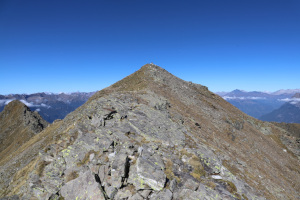
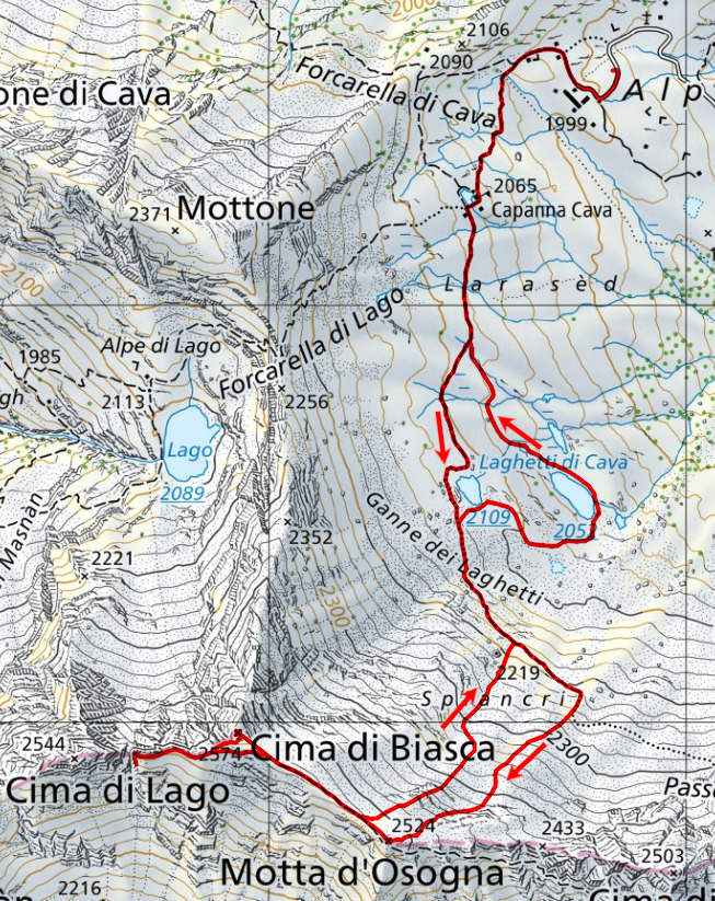
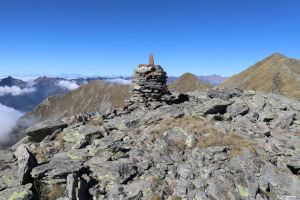
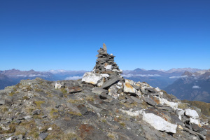
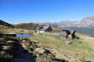
After reaching Alpe di Cava, I start walking towards the mountain hut and continue the ascent, without any particular difficulty, to the Laghetti di Cava. I then carry on along the path that climbs to Passo del Mauro up to an altitude of 2,220 metres, where I decide to leave it. I then climb the south-westerly slope, passing through blueberry bushes and rhododendrons, until I reach the first scree slopes at an altitude of 2,280 metres. I carry on over the rocks to the Motta d’Osogna and then follow the easy ridge until I reach Cima di Biasca.
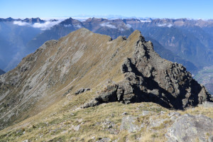
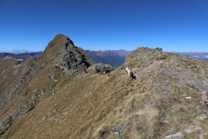
I don’t linger long at the summit as I also want to climb Cima di Lago, so, after a brief rest, I head back down, following the ridge as it continues westwards. At an altitude of 2,500 metres, I come to a sort of scree slope, about ten metres deep and just as wide, which cuts the entire ridge in two. I already knew it was there because it’s visible on satellite images of the area. I’d also found a photo online showing a route to cross it. I try to find it, even descending as far as 20 metres southwards, but I can’t locate it. I can’t even get too close to the gap because the slope is steep and covered in grass, and there’s a risk of slipping. So I give up on continuing and climb back up to an altitude of 2,500 metres. Later, back home, I discovered that this passage was probably even lower down, I think at around 2,450 metres. Reaching it, climbing up the other side and then doing the same again on the way back would have made the journey far too long. So I think I did the right thing in giving up.
Returning to the walk, from the scree slope I set off again towards Cima di Biasca, but skirted it on the southern side until I reached the ridge linking it to Motta d’Osogna. I then descended towards the Laghetti di Cava, staying further north-west than the route I’d taken on the way up. This way, I avoided the scree slopes I’d crossed that morning, but found myself on terrain that was perhaps a little steeper than the other.
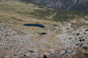
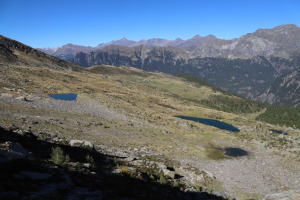
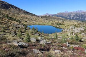
Upon reaching the path at an altitude of 2,180 metres, I follow it to Laghetto di Cava Alto before leaving it to descend and take a look at Laghetto di Cava Basso as well. I take numerous photos of both, after which I head back up north until I rejoin the path and return to Capanna Cava. I then quickly descend to the mountain pasture, where this hike comes to an end.
Note: if you simply climb to Cima di Biasca without attempting, as I did, to reach Cima di Lago, then the elevation gain for the walk drops to 650 m, the distance to 7.1 km and the kilometres of effort to 15.7.
Water (Automatic translation in english)
There is a fountain with a tap at Capanna Cava. There are then several streams all the way to the Laghetti di Cava, but I’m not sure how reliable they are, as almost all of them spring from marshes or the lakes themselves. Furthermore, there are cows grazing in the area.
Map of the Path


Summits

Huts

Lakes




Comments (0)