
Cimetta e Cima della Trosa
Information
| Date: | 7 October 2025 |
| Maximum height: | 1869 m |
| Difference in height: | 910 m |
| Length: | 15 km |
| Kilometers effort: | 27.1 kmef |
| Duration: | 5 hours and 30 minutes |
Difficulties (Automatic translation in english)

|
From the car park to Cimetta and then to Bassa di Cardada (T1 for the first section on the road). |
|
|
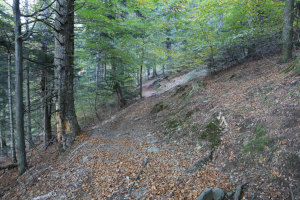
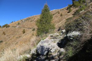
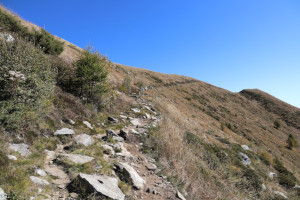
The climb up to the summit of Cima della Trosa (with several T2+ sections). |

|
The descent from the summit to the pass at the altitude of 1656 metres. |
|
|
The descent to Alpe di Bietri, then the return to Cardada and the descent to the car park (T1 the last stretch on the road). |
Comment (Automatic translation in english)
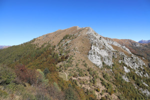
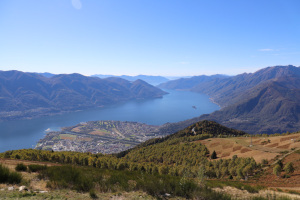
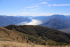
Cardada is a popular tourist destination in Ticino, generally accessible by cable car from Orselina, near Locarno. About 340 metres higher up is Cimetta, a splendid vantage point also accessible by a second cable car. Further north is Cima della Trosa, the highest point of today's trip.
To reach these places, I decide to drive up to Brè above Locarno, where there is a dirt car park. However, to get there, you have to drive along a mountain road where there are not always passing places, so it is not suitable for everyone.
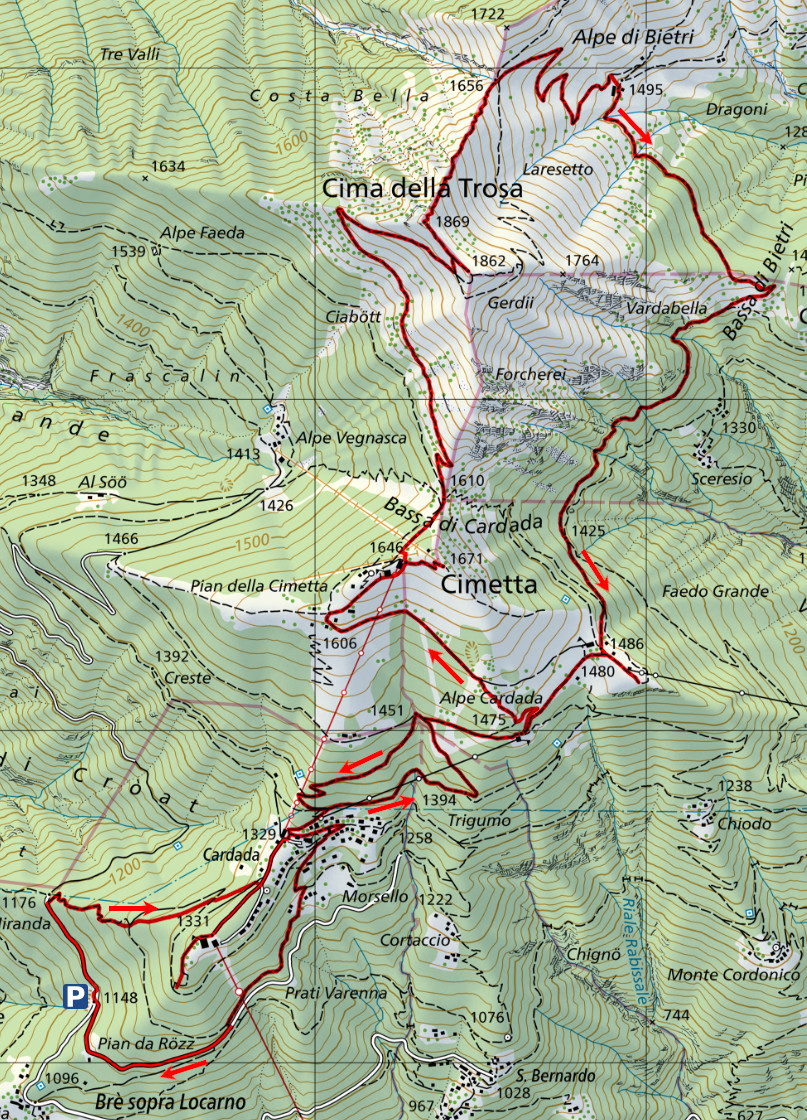
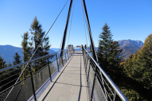
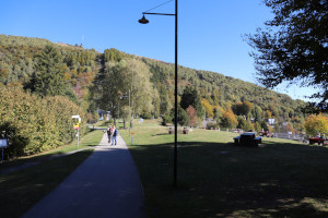
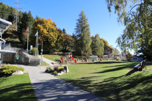
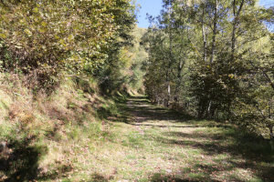
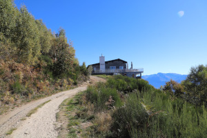
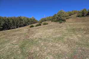
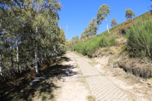
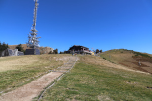
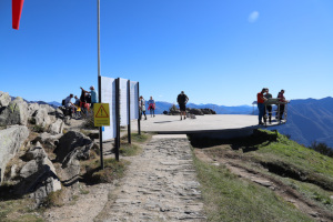
First, I start walking along the road, which is closed to traffic, heading north until I reach Miranda. I then take the path that climbs to the right and quickly reach Cardada. After visiting the panoramic walkway, located near the cable car arrival point, I start climbing again along the dirt road that leads to Alpe Cardada, where there is also a restaurant called ‘Capanna Cardada’. Once there, to shorten the journey, I decide to head directly north-west, following the path marked on the national map. In reality, however, it is only a track, now partly overgrown with broom. Once I reach the official trail again, at an altitude of 1538 metres, I follow it until I reach Cimetta, where there is a panoramic terrace and, a little further down, a weather station. Now, heading north, my next destination appears: Cima della Trosa.
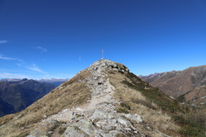
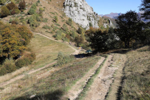
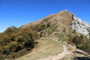
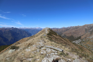
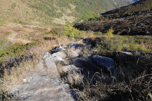
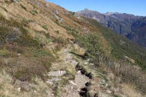
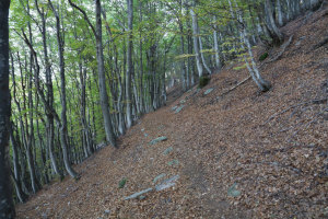
After a short break, I descend to Bassa di Cardada, where numerous trails converge. I take the one that climbs northwards and, without any particular difficulty, I reach the summit, where I find several people already sitting. I eat something and then set off again, but in order not to return the way I came, I decide to descend to Alpe di Bietri, following the direct trail marked in white and blue. It is a fairly steep path, especially at the top, where there are occasionally wet, sloping rocks that can be slippery. Alternatively, it is possible to follow the normal route, which descends further east and is marked in white and red.
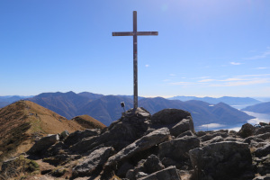
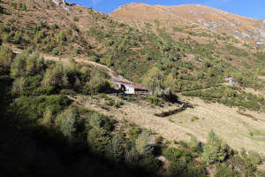
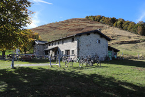
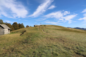
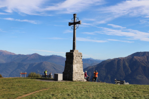
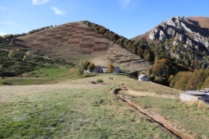
Once I reach the pass at an altitude of 1656 metres, I return to the official path and quickly arrive at Alpe di Bietri. I then head to Bassa di Bietri and continue to Capanna Lo Stallone, at an altitude of 1486 metres. In this truly enchanting place, there is a large meadow with a small lake used as a water reserve in case of fire. There is also a large cross to the south-east, which I go to see briefly. After this detour, I set off again in the direction of Cardada and then descend to the starting point, this time following the path that passes through Pian da Rözz.
Water (Automatic translation in english)
There are several fountains in Cardada, one in Bassa di Cardada, one in Alpe di Bietri and finally one in Capanna Lo Stallone.
Map of the Path


Summits




Comments (0)