
Giro della Greina
Information
| Date: | 12 September 2026 |
| Maximum height: | 2379 m |
| Positive difference in height: | 660 m |
| Negative difference in height: | 1050 m |
| Length: | 17.5 km |
| Kilometers effort: | 27.6 kmef |
| Duration: | 6 hours |
| Huts reached: | Capanna Scaletta |
| Capanna Motterascio |
| For the following peak, there are other variants of the ascent: | Giro della Greina |
Difficulties (Automatic translation in english)

|
From Pian Geirett to the Scaletta Hut. |

|
From the Capanna Scaletta to the Capanna Motterascio and then to Garzott. |

|
The final stretch of road to the bus stop. |
Comment (Automatic translation in english)
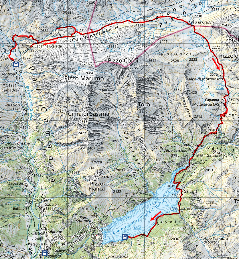
It had been a very long time since I’d walked the entire length of the Greina. The last time was in 2005, when we did the full circuit starting from Alpe di Fontana San Martino, in Val Camadra. Today, however, we decided to take the shorter route and head up to Pian Geirett on the bus that leaves from Ghirone. We’ll catch it again on the way back to return from Lake Luzzone to the village (20 francs return).
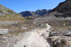
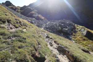
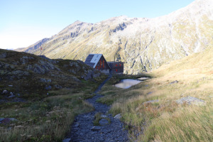
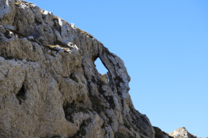
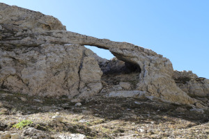
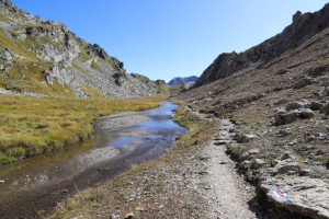
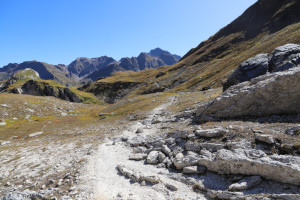
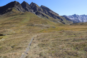
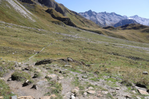
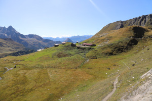
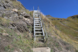
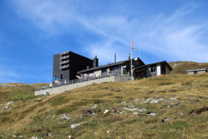
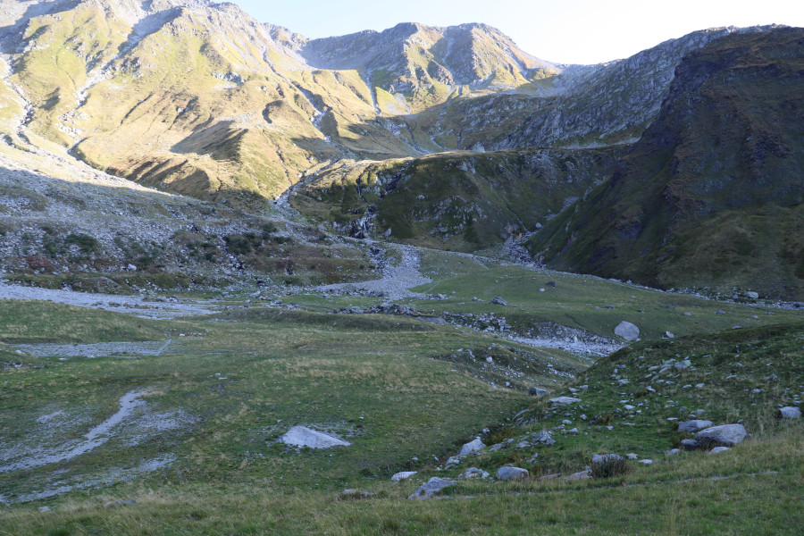
Once we arrived at Pian Geirett, we set off walking northwards and, after crossing the plateau, followed the path leading up to the Capanna Scaletta. After popping down briefly to see the hut, we continue towards the Passo della Greina until we reach the junction at an altitude of 2,378 metres. From there, the path descends to the Arco della Greina, a natural limestone arch that is one of the longest in the Canton of Ticino. It’s well worth visiting, not least because it’s situated in a very beautiful area, with meadows, white rocks and a lovely river running through it.
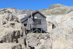
After taking a look, we return to the path and head eastwards, towards the Passo della Greina. Once we’ve crossed the pass, we spot a small wooden hut nestled amongst the limestone rocks on the left. This is the Rifugio Edelweiss, an old military refuge handed over in 1978 to a mountaineering association from Olivone, which subsequently renovated it.
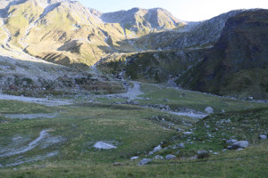
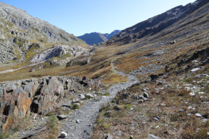
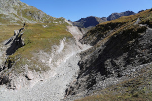
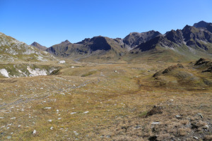
Once past the refuge, we enter the Piano della Greina, a very large and beautiful plateau largely covered in pastures. Along the path, we can also see the gorges formed by the River Rein da Sumvitg, which stand out for their light colour.
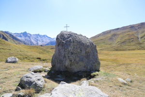
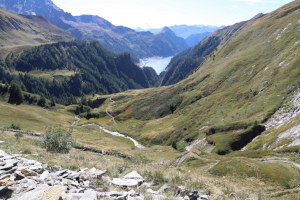
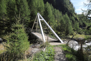
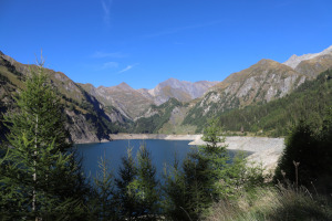
We then reach Crap la Crush, a junction where the paths from the three huts of the Greina meet. We take the path on the right and continue until we reach the Capanna Motterascio. At this point, we begin the long descent towards Lake Luzzone. Once we reach the valley floor, at an altitude of 1,636 metres, we cross the river via a sturdy bridge and then continue on the other side of the valley.
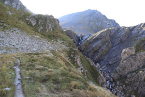
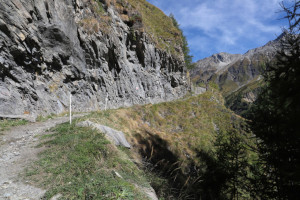
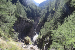
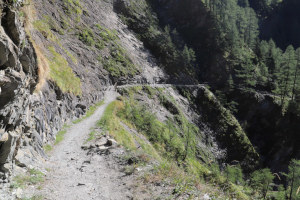
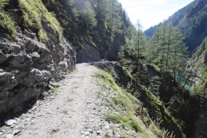
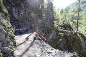
The path now crosses a very steep slope, beneath which lie some spectacular gorges. The most impressive section is found about 300 metres past the bridge, where the route crosses a fairly steep stretch of rock that is almost sheer over the lake. However, compared to the last time I passed through here, in 2009, the path has been improved and widened and presents no particular difficulties or dangers.
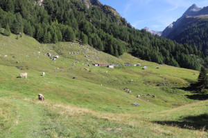
We then reach Alpe Garzott, where we continue along the road for a further 2 km to the bus stop.
Water (Automatic translation in english)
There is a fountain at Capanna Scaletta and one at Capanna Motterascio, but both are marked with a symbol or sign indicating that the water is not fit for drinking. There is also a fountain with a tap at the Edelweiss Refuge, near the Passo della Greina, about 90 metres from the official path. There are also several streams on the way up to Capanna Scaletta and a few more near Capanna Motterascio. However, the latter flow through cow pastures and are not always clean.
Map of the Path


Huts

Other




Comments (0)