
Lagh de Calvaresc

Information
| Date: | 23 July 2021 |
| Maximum height: | 2270 m |
| Difference in height: | 1320 m |
| Length: | 14.5 km |
| Kilometers effort: | 32.1 kmef |
| Duration: | 7 hours |
| Huts reached: | Capanna Buffalora |
| Lakes reached: | Lagh de Calvaresc |
Difficulties (Automatic translation in english)

|
From Rossa to the pass above Lagh de Calvaresc (with some T3 passages towards the altitude of 1950 metres). |

|
From Alp de Calvaresc Sora to Capanna Buffalora (with some T3 passages where there are stony ground to cross). |
|
|
From Capanna Buffalora to Alp de Calvaresc Sott. |
Comment (Automatic translation in english)
Today's destination is Lagh de Calvaresc, in Val Calanca, famous throughout Switzerland for being heart-shaped, if you look at it from the right direction.
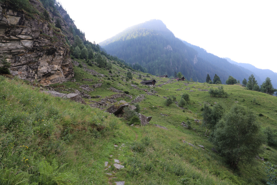
First of all I reach the village of Rossa where, before the bridge, there is a large car park. I start to walk through the village and continue in the direction of the Mont de Carnalta. Once past the mountains I continue to climb until I reach the Alp de Calvaresc Sott. I then follow the path that goes up to the Alp de Calvaresc Sora and that has some more delicate passages, towards an altitude of 1950 metres, where you have to walk on some wet rocks and where there is also a chain (see photo). Having passed the alp at an altitude of 2131 meters, I soon arrive at the Lagh de Calvaresc.
When I reached the lake, I decided to go up to the small mouth on the left to admire and photograph it in its most famous form, that of a heart. After the lunch break I decided to go around the lake to observe it from other perspectives and I have to say that this lake is stupendous from all directions.
After this moment of contemplation, I descend to Alp de Calvaresc Sora and take the left path that leads to Capanna Buffalora, in order to see this refuge that I have never reached before. The path that leads to the hut is quite nice, even if there are some passages that are a bit more technical through some short and easy rocks. Having reached the hut, I quickly descend to the pond below, surrounded by marshes, called Laghet. I then return to the main path and descend again to Alp de Calvaresc Sott and finally return to Rossa along the same path taken on the outward journey.
Water (Automatic translation in english)
There are a few fountains in the village of Rossa and then one at Capanna Buffalora. Then there are a few more rivers on the way up to Alp de Calvaresc Sott and one just before Alp de Calvaresc Sora.
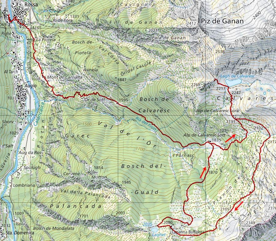
Map of the Path

Huts
Lakes
Other


Comments (1)
Merci pour les explications et photos qui nous ont donné envie de réaliser cette sortie.