
Denti della Vecchia e Monte Boglia
Information
| Date: | 7 May 2009 |
| Maximum height: | 1516 m |
| Difference in height: | 1130 m |
| Length: | 15 km |
| Kilometers effort: | 30 kmef |
| Duration: | 6 hours and 30 minutes |
| Huts reached: | Capanna Pairolo |
| For the following peaks, there are other variants of the ascent: | Monte Boglia |
| Denti della Vecchia |
Difficulties (Automatic translation in english)

|
From Monte Creda to Murio. |

|
From Murio to the Capanna Pairolo and from there to Monte Boglia. |
|
|
From Monte Boglia to Monte Creda. |
Comment (Automatic translation in english)
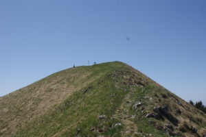
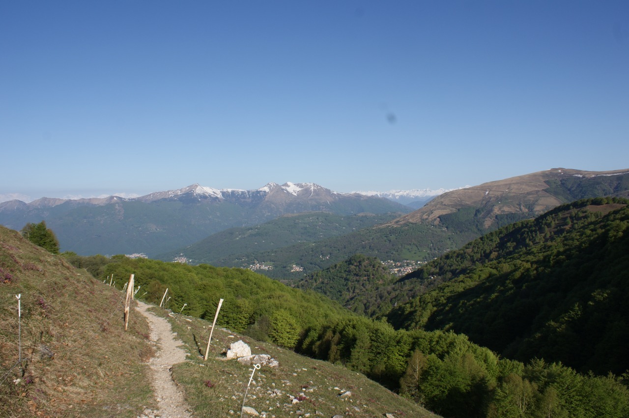
If you want to do the complete tour it is advisable to start from Monte Creda. To reach it you have to climb up to Villa Luganese, leave the main road and follow the signs for Grotto Monte Creda. Arrived at the mountain there is a parking lot for 5 or 6 cars in addition to some space here and there. From Creda you go up a small road that almost reaches Murio. From here you can follow the official path that goes to Cioascio and then goes up to the hut, or climb directly from Murio to a path no longer marked by signs, but still visible. This path then rejoins with the other and reaches the Pairolo Hut. The view from there is beautiful, especially because it sweeps over the mountains and you can not see the city. From the hut, head to the Denti della Vecchia. At the beginning there are 2 possible paths, one on the Swiss side and one on the Italian one. I preferred to follow the first because it seemed more scenic. In fact, the view is beautiful and after about a kilometer can also become excessive, if you suffer from vertigo. However, a well-maintained path remains. You then get to a small park to the north of the Sasso Grande, from which it should be possible to climb on it (difficulty T5) following a trail, but at the beginning it is not visible and if you do not know where to look he sees. From the small road then follow the only path present and descend to Pian di Scagn, where there is a beautiful lawn. From here it is possible to climb up to Monte Boglia and then go back on the same path. At the bottom of Pian di Scagn there is also a tap with water. From this meadow, descend to the Alpe Bolla and then again to Monte Creda.
Water (Automatic translation in english)
There is a fountain at Capanna Pairolo and another at Alpe Bolla.
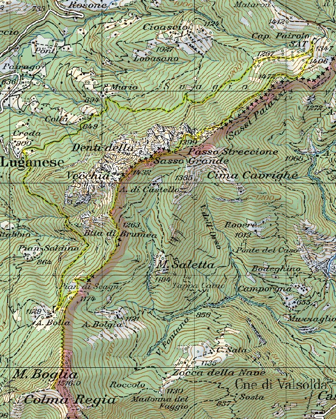
Map of the Path

Summits
Huts
Other


Comments (0)