
Monte San Giorgio
Information
| Date: | 10 April 2010 |
| Maximum height: | 1096.7 m |
| Difference in height: | 540 m |
| Length: | 7.3 km |
| Kilometers effort: | 14.5 kmef |
| Duration: | 3 hours |
| For the following peak, there are other variants of the ascent: | Monte San Giorgio |
Difficulties (Automatic translation in english)

|
Along almost the entire route (T1 from Meride to Cassina along the carriageway). |
Comment (Automatic translation in english)
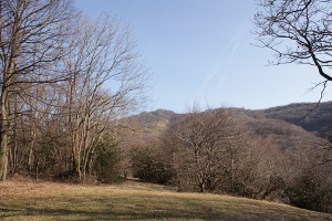
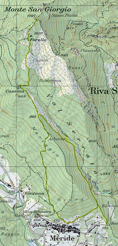
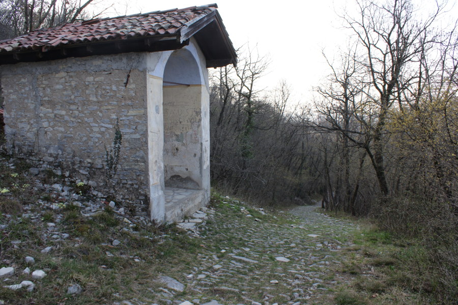
Once you reach the village of Meride – either by bus or by leaving your car just below the village – you begin walking along the old carriage road that climbs up to the church of San Silvestro and continues on to Cassina. Once you reach this spot, where there is a small mountain hut and a chapel dedicated to Saint Hubert, you set off again heading north until you reach Forello. We soon reach the summit, where we can admire a beautiful view over much of Ticino and where the Oratory of San Giorgio stands. Next to it is a small refectory, which is always open and provides shelter in case of bad weather.
For the return journey, we head back down to Cassina and, after about 400 metres, to vary the route, we turn left and follow the path that descends south-east. At an altitude of 760 metres, we come to a small turn-off heading north, which leads to the Grotta della Bögia. This cave, the longest in the Mendrisiotto region, can be explored without too much difficulty for the first 30 metres. There is then a lovely little lake, beyond which it is only possible to continue with the appropriate equipment.
Leaving the cave, we descend once more to Meride, where this walk ends.
Map of the Path

Summits


Comments (0)