
Piz Pian Grand
Information
| Date: | 29 September 2011 |
| Maximum height: | 2689 m |
| Difference in height: | 1410 m |
| Length: | 15.3 km |
| Kilometers effort: | 34.1 kmef |
| Duration: | 8 hours and 15 minutes |
Difficulties (Automatic translation in english)

|
From Alp Frach to Passit (T1 the road section). |

|
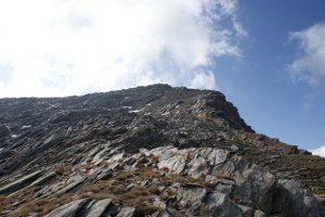
From Pass di Passit to Bocca de Rogna (T4 the first 20 metres on the south side of Pass de la Cruseta). |

|
From Bocca de Rogna to the summit. |
|
|
From Bocca de Rogna to Alp Frach (T3 the off-trail section down to the altitude of 2001 metres, which can be avoided). |
Comment (Automatic translation in english)
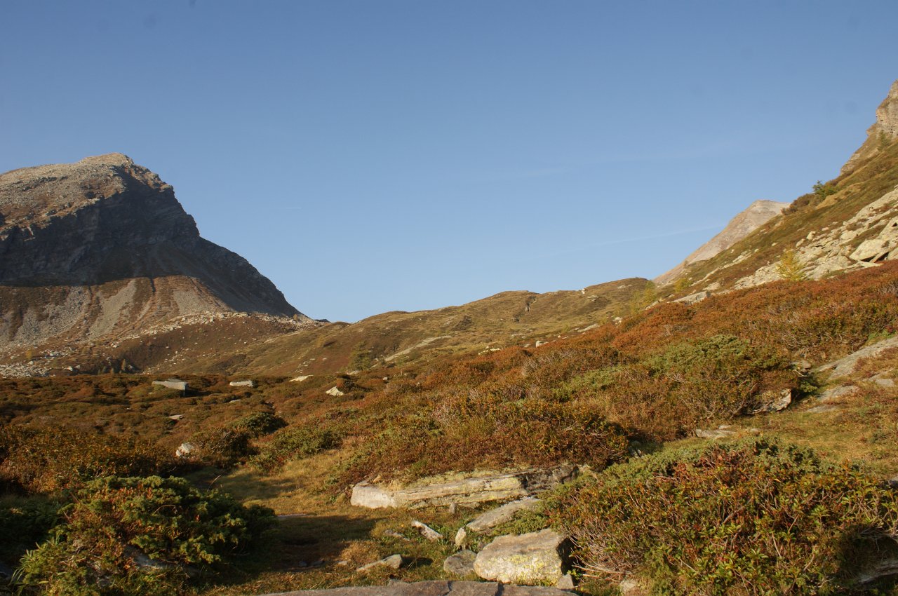
After leaving the car at Alp Frach, where there is a huge open space, continue along the dirt road towards Lago d'Isola. After the altitude of 1658 meters take the first path on the right and continue towards Passit Pass where there are two lakes and a beautiful farmhouse that almost does not notice so it is camouflaged with the surrounding rocks. From the pass then take the path that leads to the Pass de la Cruseta, beyond which there is a small rocky stretch that is overcome even thanks to the help of chains. This leads to the Bocca de Rogna, but it is abandoned immediately to descend the eastern valley of about forty meters to an evident passage between the rocks that leads to the Piz Pian Grand. From here there are some little men that lead to the summit passing from the east side of the canyon where there are many stretches on the grass. Once you get to the top you go down the same road up to the Bocca de Rogna after which you continue on the Mesolcinese side. To shorten the path you can leave the trail around the 2340 meter altitude and continue in the meadows below up to the group of ruined farmsteads listed in 2001 meters. From there you take the path that leads to the Alp d'Ocola and you reach the Lago d'Isola again. With a final stretch of dirt road you return to the car.
Water (Automatic translation in english)
There is a fountain at an altitude of 1658 metres and another at Alp d'Ocola. There are also several rivers, including a stream on the way up to the Pass de la Cruseta, other rivulets southwest of the Bocca de Rogna and a river south of the farmsteads at altitude 2001 metres.
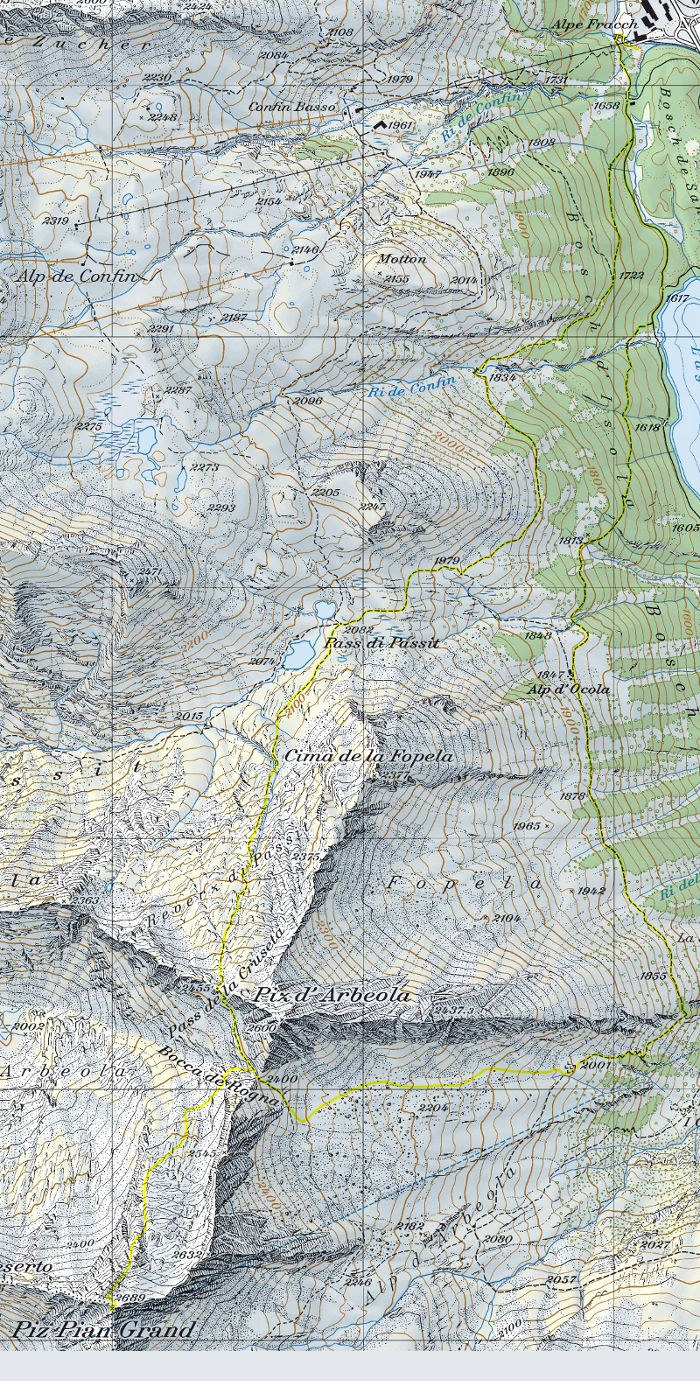
Map of the Path

Summits


Comments (0)