
Pizzo di Corgella e Cucchetto
Information
| Date: | 12 October 2025 |
| Maximum height: | 1707 m |
| Difference in height: | 760 m |
| Length: | 11 km |
| Kilometers effort: | 21.1 kmef |
| Duration: | 4 hours and 30 minutes |
| Huts reached: | Capanna Cremorasco |
Difficulties (Automatic translation in english)

|
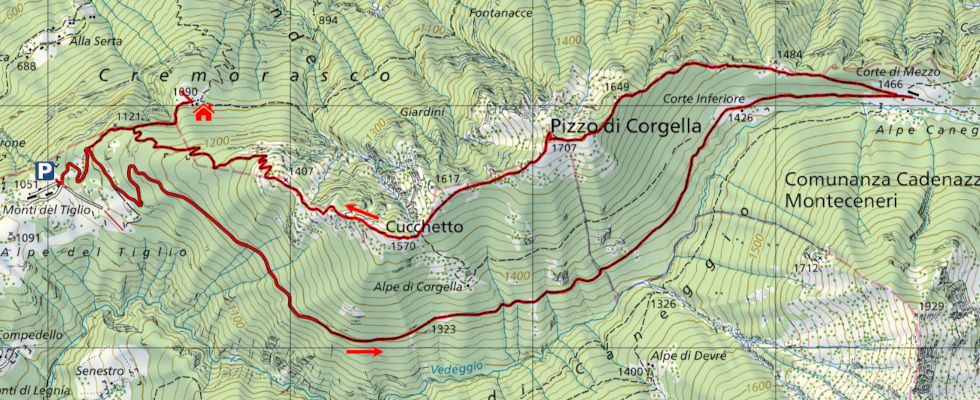
From the Monti del Tiglio to the Corte di Mezzo of Alpe Caneggio. |

|
From Alpe Caneggio to Pizzo di Corgella (with one T2+/T3 passage at the altitude of 1666 metres). |
|
|
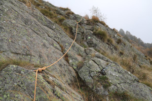
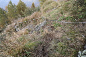
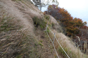
From Pizzo di Corgella to Monti del Tiglio (with some T2+/T3 sections, especially between 1,390 metres and 1,320 metres). |
Comment (Automatic translation in english)
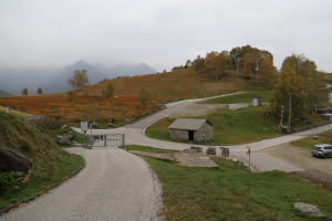
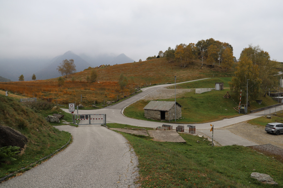
Pizzo di Corgella is a mountain located above the municipality of Camorino, along the ridge that descends from Camoghè to the Monte Ceneri Pass. The shortest route to reach this peak starts from Monti del Tiglio, in Val d'Isone, where there is a car park. However, the area is only accessible at weekends, both by car and on foot, due to restrictions imposed by the military.
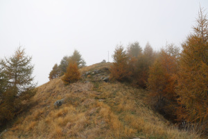
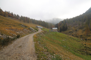
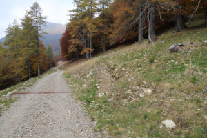
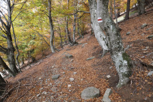
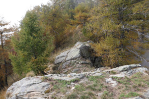
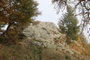
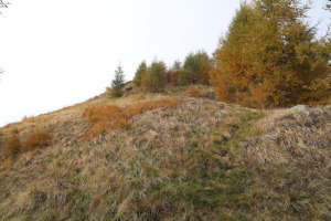
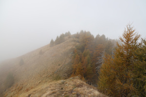
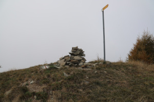
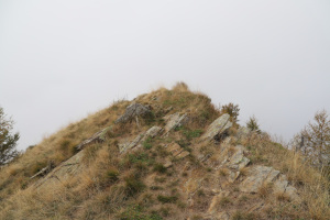
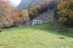
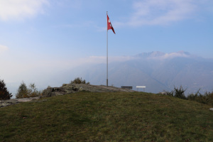
From Monti del Tiglio, I begin walking along the road that leads to Corte Inferiore dell'Alpe Caneggio and then to Corte di Mezzo. About a hundred metres before reaching the latter, on the left, there is a path that climbs up to Pizzo di Corgella, which is not very noticeable, especially at the beginning. It is an official trail, as can be seen from the red and white paint marks indicating the way as you climb. The climb is not particularly difficult, except for a short passage at an altitude of 1,666 metres [2,723,308, 1,111,941], where there are some easy rocks to climb over. Unfortunately, once I reach the top, I cannot enjoy the view because I am surrounded by fog.
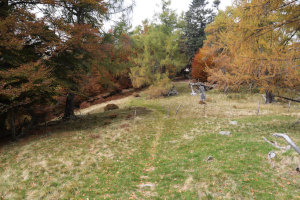
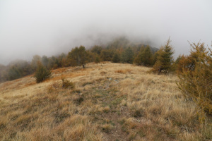
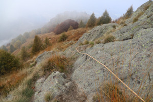
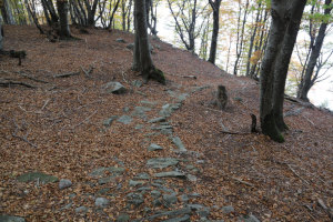
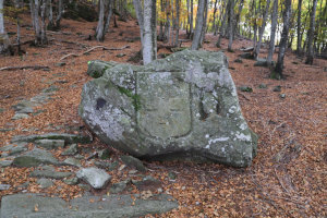
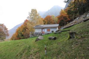
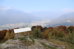
After my lunch break, so as not to return the same way I came, I decide to continue along the ridge and descend towards the south-west. On that side, the official path no longer exists, but the trail is still visible. Without any particular difficulty, I reach Cucchetto, after which I head towards the Monti del Tiglio. Along that stretch of the path, especially between 1,390 metres and 1,320 metres, there are some slightly rocky and steep passages, which have been secured with ropes. Once past these, the most challenging part is over, and I can continue descending into the woods. At an altitude of 1,250 metres, I reach a large rock engraved with the Swiss cross and a portrait of General Ulrich Wille. This is a testimony left by the military during the First World War, who had their fortifications in this area. I continue my descent until I reach the junction at an altitude of 1,131 metres, then turn right and quickly reach the Cremorasco Hut (not marked on the national map), from where I can admire a splendid view of the Magadino Plain. I then return to the previous junction and, after a final descent, I am back at Monti del Tiglio.
Water (Automatic translation in english)
There is a fountain in the Corte Inferiore and one in the Corte di Mezzo of Alpe Caneggio. I found another one at Capanna Cremorasco, but it was only dripping a little water. Perhaps because we are now at the end of the season and the hut is almost closed.
Map of the Path


Summits

Huts




Comments (0)