
Poncione dei Laghetti / Poncione della Bolla
Information
| Date: | 4 September 2026 |
| Maximum height: | 2617 m |
| Difference in height: | 510 m |
| Length: | 4 km |
| Kilometers effort: | 10.8 kmef |
| Duration: | 4 hours |
| Lakes reached: | Lago Superiore |
Difficulties (Automatic translation in english)

|
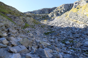
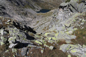
From Lago Superiore up to the altitude of 2,400 metres (with a few T3 sections). |

|
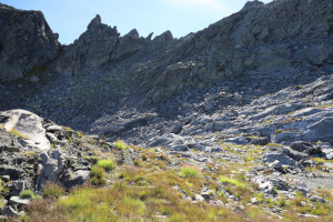
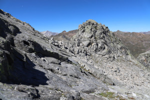
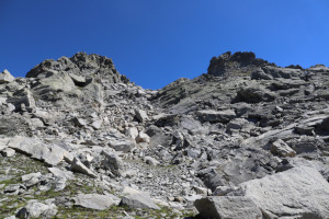
From the altitude of 2,400 meters to the pass at 2,580 meters, and then to the altitude of 2,600 meters. |

|
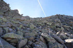
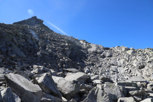
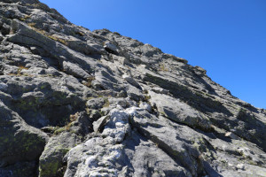
The final stretch to the summit of Poncione dei Laghetti (with Grade I climbing sections). |
|
|
The descent from the pass at the altitude of 2,580 metres down to 2,530 metres. |

|
From the altitude of 2,530 metres down to the altitude of 2,300 metres. |
|
|
The return to Lago Superiore. |
Comment (Automatic translation in english)
Even in this heat, I still feel like heading up to higher ground. So I decide to go to Poncione dei Laghetti (or Poncione della Bolla), a mountain situated in the Lake Naret region, at the head of the Val Lavizzara.
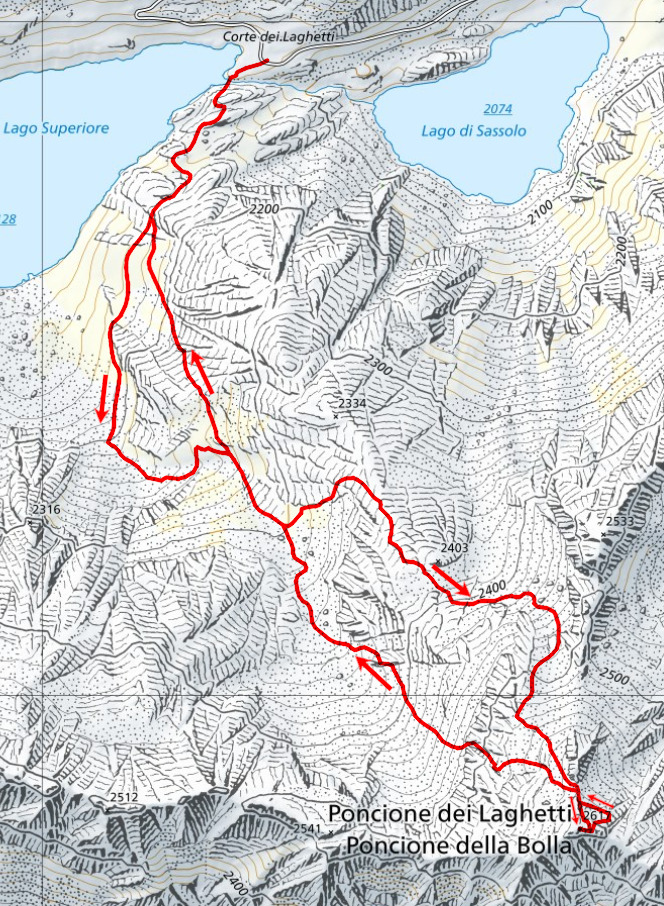
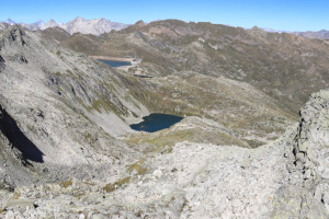
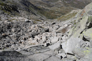
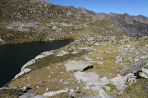
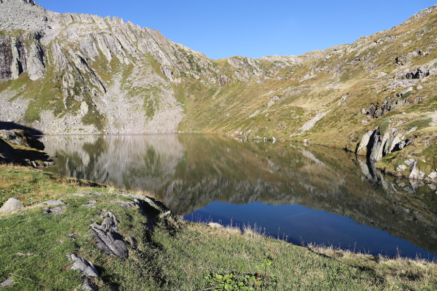
After reaching Lago Superiore, I start walking along a faint path that runs alongside it on the southern side. I then head up the valley, where there are a few easy scree slopes, up to an altitude of 2,300 metres. At that point, my initial plan was to continue southwards and reach the gully at 2,500 metres, which allows you to cross the rocky outcrop running across the slope from north to south. However, this route didn’t appeal to me much as it looked full of rocks and quite steep. To the north-east, on the other hand, there is a lovely, inviting meadow which eventually persuades me to climb up that way.
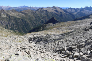
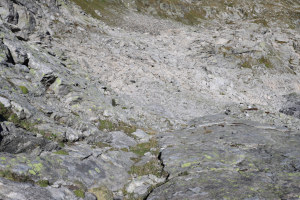
After walking about 150 metres in that direction, I turn right and continue through grass and scree until I reach an altitude of 2,400 metres. Ahead of me now lies the rocky outcrop I mentioned earlier, which I decide to bypass on the left-hand side. On that side there is a scree slope which I climb southwards until I reach the pass at an altitude of 2,580 metres, between Poncione dei Laghetti and its northern secondary summit.
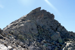
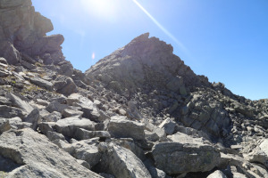
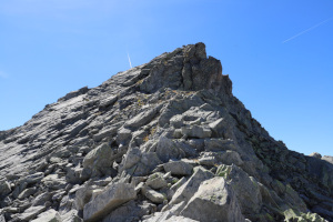
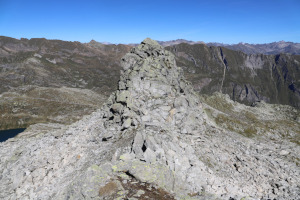
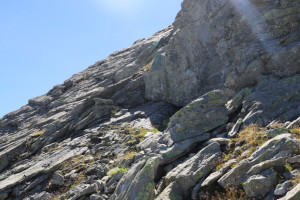
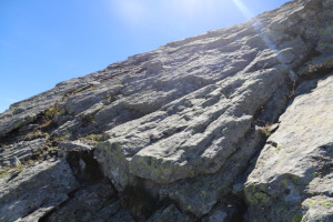
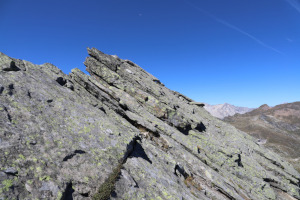
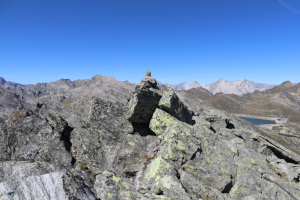
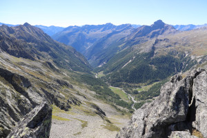
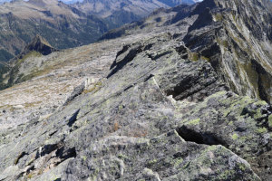
Now all that remains is to tackle the final stretch – the most challenging one – but I have to stop for a moment to decide which route to take. The route heading directly towards the summit seems feasible up to an altitude of 2,600 metres, but after that I can’t see how it continues. A second option might be to head east instead, where I think I can see a rock standing vertically, and then look for a way up from that side. On my return, I’ll discover that this latter choice is actually the slightly easier one, but for the moment I choose to follow the ridge southwards. However, once I reach an altitude of 2,600 metres, I have to stop because the rock slabs higher up become quite steep and offer few handholds to hold on to. I therefore descend a few metres and, continuing south-east, manage to reach the mountain’s eastern ridge. On the other side, overlooking the Peccia Valley, the precipice is truly breathtaking, and it’s best not to lean out if you suffer from vertigo. Holding on to the ridge, or to a few ledges a little lower down, I manage to continue westwards until I reach the summit of Poncione dei Laghetti.
For the return journey, I retrace the ridge eastwards to the point where I had previously joined it. This time, however, I follow it for a few more metres until I reach a sort of gully that descends northwards and which also has some grass in it. This route is slightly easier to follow than the one taken on the ascent.
After descending the gully, I continue eastwards where the slabs are less steep and there are more handholds to hold on to. I finally reach the vertical rock face I’d spotted at the start, which I discover is in that position entirely by chance. I then cross the slabs heading west until I return to the pass at an altitude of 2,580 metres.
For the descent, I choose not to follow the route I took on the way up but to head towards the rocky outcrop to the west. I then reach the gully at an altitude of 2,500 metres, which I descend without too much trouble.
I then continue through rocks and meadows until I return to the same spot I’d passed through that morning, at an altitude of 2,300 metres. I then descend a further 30 metres, after which, instead of following the valley westwards as on the way up, I head north until I return once more to Lago Superiore, where this trip comes to an end.
Water (Automatic translation in english)
During the walk, I came across a stream at an altitude of between 2,250 metres and 2,330 metres. However, it wasn’t always possible to collect water because in many places it was flowing under the rocks.
Map of the Path


Summits

Lakes




Comments (0)