
Scopi
Information
| Date: | 17 August 2011 |
| Maximum height: | 3190 m |
| Difference in height: | 1300 m |
| Length: | 11.7 km |
| Kilometers effort: | 29 kmef |
| Duration: | 6 hours and 30 minutes |
| For the following peak, there are other variants of the ascent: | Scopi |
Difficulties (Automatic translation in english)

|
From the Lukmanier Pass to the altitude of 2488 metres. |

|
From the altitude of 2488 metres to the altitude of 2952 metres. |

|
From the altitude of 2952 metres to the summit (with some T4 passages). |
Comment (Automatic translation in english)
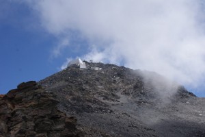
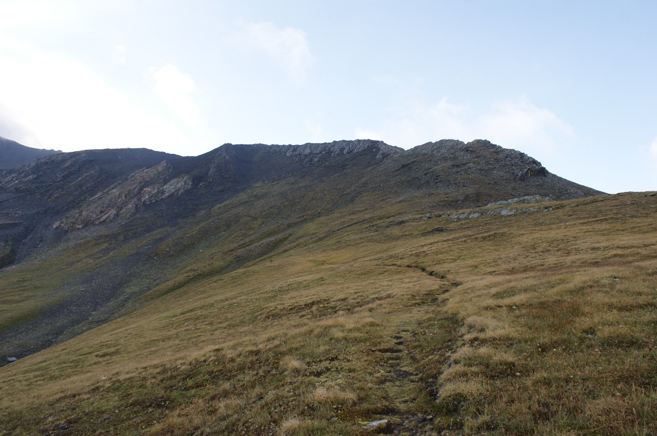
After leaving the car at the Passo del Lucomagno, where there is a large car park behind the hospice, continue on foot along the cantonal road. When you reach 1929 meters above the avalanche tunnel up to a height of 1971 meters, there is a small stone man to signal the beginning of the path to the Scopi. The path, up to 2488 meters, is really well done, with a constant slope that allows you to make long stretches without stopping. Once you reach the aforementioned altitude, however, the path changes suddenly and becomes steeper and more irregular. The last 100 meters below the summit are quite delicate, to be done with a sure step because of the debris that tend to collapse almost at any moment. On the summit is the famous airspace control unit that controls both military and civilian traffic. In recent years a cross has finally been placed on the summit, which makes the appearance of the summit a little less ugly.
Water (Automatic translation in english)
There is a fountain at the Passo del Lucomagno. Then there is still the river at an altitude of around 2180 metres, but you have to leave the path about fifty metres because only its northern branch carries water.
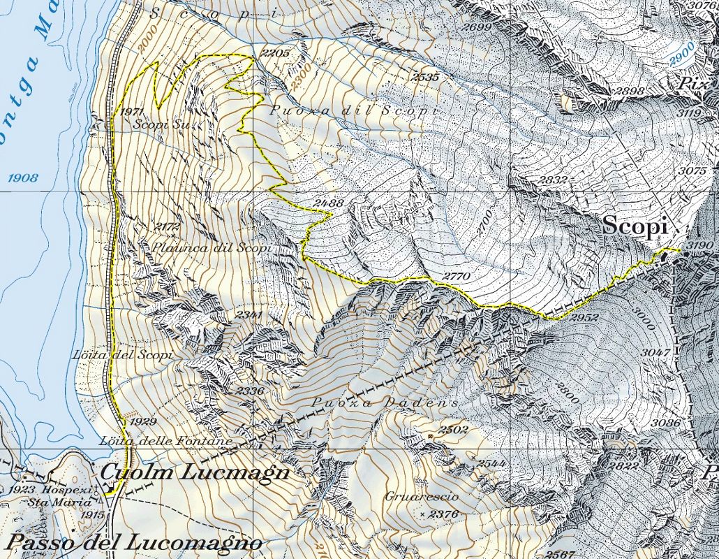
Map of the Path

Summits


Comments (1)