
Tritthorn
Information
| Date: | 22 July 2026 |
| Maximum height: | 2924 m |
| Difference in height: | 840 m |
| Length: | 12.2 km |
| Kilometers effort: | 23.4 kmef |
| Duration: | 6 hours |
| Lakes reached: | Lago del Pizzo Centrale |
Difficulties (Automatic translation in english)

|
The road leading from the Gotthard Pass to the junction at the altitude of 2,297 metres. |

|
From the junction up to the altitude of 2,472 metres (with some T2+ sections). |

|
From the altitude of 2,472 metres to the altitude of 2,870 metres. |

|
The final stretch of the climb to the summit of the Tritthorn (with a few T4 sections, which may be avoidable). |
|
|
The descent from the path at the altitude of 2,820 metres down to Lago del Pizzo Centrale and then to the altitude of 2,600 metres. |

|
From the altitude of 2,600 metres to Cascina di Val Torta (with a few T3 sections). Then T1. |
Comment (Automatic translation in english)
Today I’m returning to the Gotthard Pass region to climb the Tritthorn, a mountain situated above Lake Sella.
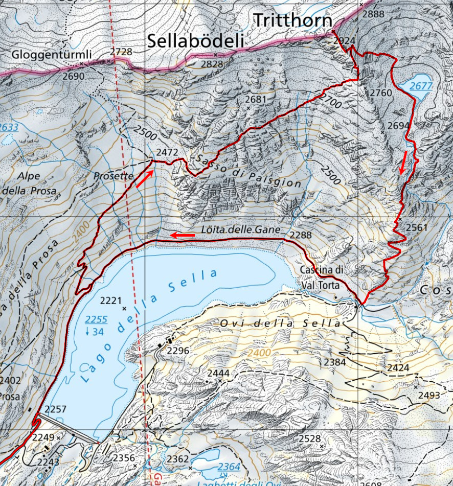
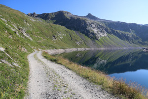
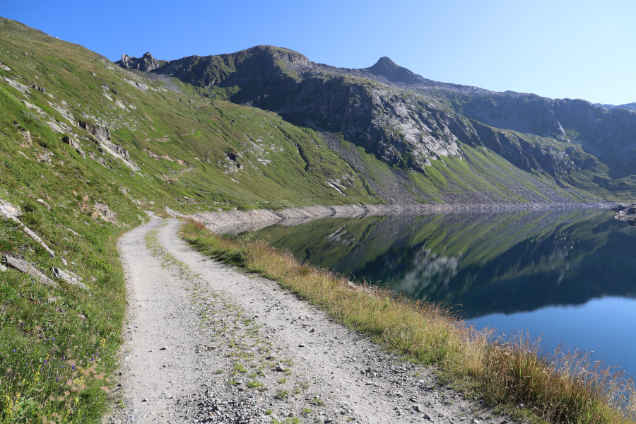
After leaving my car near the pass, I start walking along the road – which is closed to traffic – leading to the dam and then climbing towards Cascina della Prosa. Once I reach an altitude of 2,297 metres, I take the path that climbs north-eastwards towards Gloggentürmli. However, I leave this path at an altitude of 2,472 metres, where a barely visible turn-off begins, leading to Pizzo Centrale and the Tritthorn.
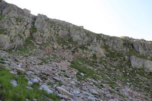
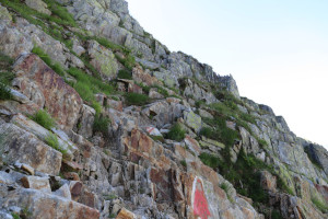
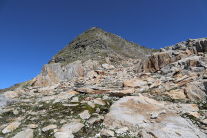
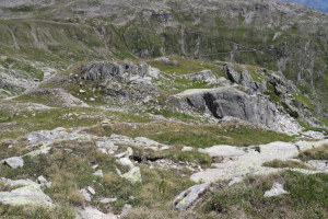
After about 180 metres, I reach a rocky outcrop which, from a distance, looks difficult to climb. On closer inspection, however, it becomes clear that negotiating this section is not as difficult as it initially appeared.
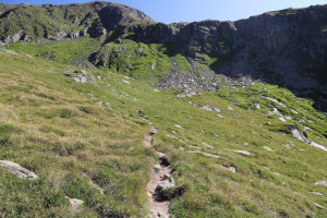
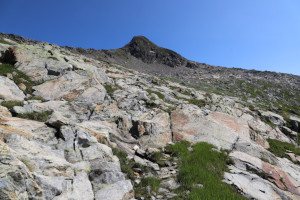
The path then continues without any particular difficulties across terrain that is initially still quite grassy but gradually becomes increasingly rocky.
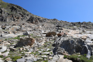
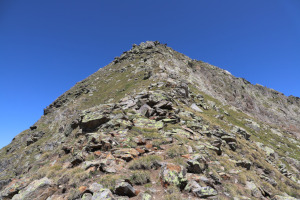
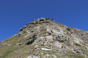
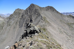
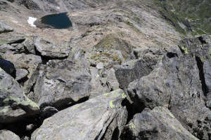
Upon reaching the south-eastern ridge of the Tritthorn, I do not ascend it straight away towards the summit because there are quite a few rocks in the lower section. I prefer to follow the path a little further north and then join the ridge at an altitude of around 2,840 metres. I then climb it without much difficulty for about 30 metres, after which I reach a rocky section that I negotiate, with some difficulty, on the right. On the way back, however, I discover that the passage on the left-hand side is a little easier.
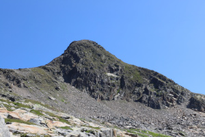
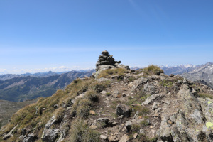
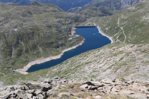
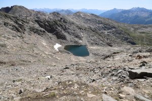
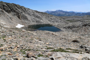
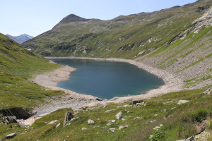
Once past the rocks, I finally reach the summit of the Tritthorn. The view of the surrounding mountains is very beautiful and impressive, especially towards the nearby Pizzo Centrale. To the south-west lies Lago della Sella, whilst to the south-east is Lago del Pizzo Centrale (an unofficial name). I decided to descend to this latter lake on the way back to vary the route a little.
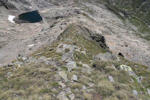
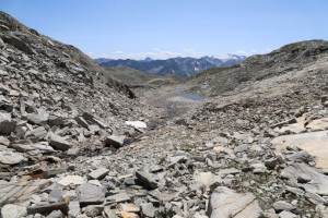
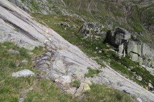
After returning to the path at an altitude of 2,820 metres, I head towards the lake along a slope that is a bit steep at first but then becomes gentler. The rocks aren’t particularly large and don’t pose any real problems.
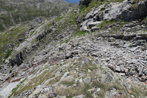
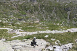
Once I reach the lake, I go round it on the southern side, after which I begin to descend, following the stream as it flows down into the valley. My original plan was to reach Val Prevat and then continue along the same route I’d taken last year during my trip to Pizzo Prevat. However, when I reached an altitude of 2,600 metres, I noticed a faint track heading south. I tried following it and, after a few metres, a cairn appeared, followed by another one further down. I therefore decided to try descending this way. This route was probably created by the military, who come to this area for training. The track, however, is very faint, whilst the cairns are spaced far apart and are often difficult to spot. For this reason, it isn’t very easy to follow the right path, and indeed I lost it at an altitude of 2,420 metres. It’s no big deal, though, because by following the patches of grass between the boulders, I manage – with a bit of effort – to find a way down.
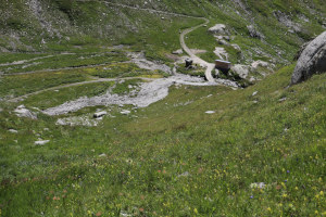
I finally reach Cascina di Val Torta, where I rejoin the dirt track leading to the dam. Following it, after about an hour, I return to the St Gotthard Pass, where this hike comes to an end.
Water (Automatic translation in english)
As you climb to an altitude of 2,472 metres, there are a few streams, and then there is another one at an altitude of 2,656 metres. There is also the river that flows out of Lake Pizzo Centrale, and a few more streams to the north of Lake Sella.
Map of the Path


Summits

Lakes




Comments (0)