
Monte Lema
(1620 m)
Automatic translation in english
Monte Lema is a 1620-metre-high mountain in the Sottoceneri region on the border between Switzerland and Italy.
On its summit there is a weather radar, an astronomical observatory and a restaurant.
The Tamaro-Lema traverse also departs from the summit of the mountain, connecting this peak to Monte Tamaro, almost 9 km away, in just over 4 hours.
The following routes are available to reach this place:
| Hike | Date | Height diff. | Length | Max diff. | |
 | Monte Lema | 14.04.2007 | 880 m | 9.5 km |  |
 | Monte Lema | 09.11.2020 | 970 m | 12.5 km | |
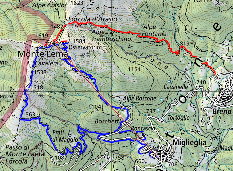
Map of the Variants


Il Monte Lema è una montagna del Sottoceneri, alta 1620 metri, posta sul confine tra la Svizzera e l'Italia.
Sulla sua cima è presente un radar meteorologico, un osservatorio astronomico e un ristorante.
Dalla vetta del monte parte anche la traversata Tamaro-Lema che collega questa cima al Monte Tamaro, distante quasi 9 km, in poco più di 4 ore.