
Monte San Giorgio
Information
| Date: | 27 September 2008 |
| Maximum height: | 1096.7 m |
| Difference in height: | 850 m |
| Length: | 10 km |
| Kilometers effort: | 21.3 kmef |
| Duration: | 4 hours and 45 minutes |
| For the following peak, there are other variants of the ascent: | Monte San Giorgio |
Difficulties (Automatic translation in english)

|
From Riva San Vitale to Albio. |

|
From Albio to the top of Monte San Giorgio. |
|
|
From the summit to Riva San Vitale via Cassina. |
Comment (Automatic translation in english)
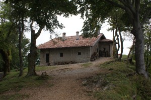
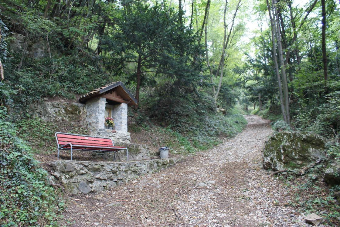
The Monte San Giorgio has numerous paths to climb. One of the longest is the one that starts from Riva San Vitale. Near the cemetery there is a large parking area where to leave the car. Then you go up a small road and just before you get to Albio you leave it to follow a well marked path that leads us to the summit. For the return you can redo the same path or go down from the south side up to Cassina. Shortly after Cassina I diverted from the main mule track and entered the Val Serrata. About halfway up the valley you reach a path that comes off from the main one and heads towards the river. After a hundred meters you reach the cave called "La Bögia", on the west side of the valley. With a length of more than 300 meters, La Bögia is the longest cave in the mendrisiotto. Inside, after about thirty meters, we find a pond and continue to be equipped. Continuing the tour you return to the main path and continue down to Meride. From here you take another path that takes us back to the start.
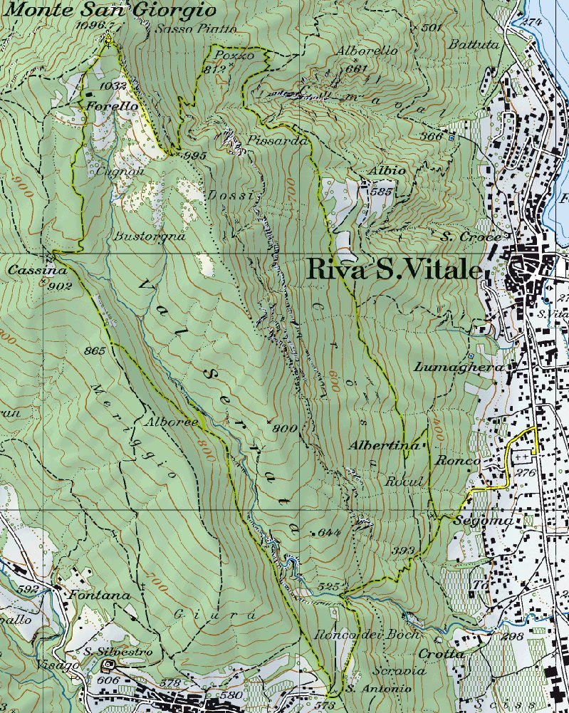
Map of the Path

Summits


Comments (0)