
Passo del San Bernardino
Information
| Date: | 23 March 2021 |
| Maximum height: | 2122 m |
| Difference in height: | 520 m |
| Length: | 11.2 km |
| Kilometers effort: | 18.1 kmef |
| Duration: | 4 hours and 30 minutes |
Difficulties (Automatic translation in english)

|
From San Bernardino to the San Bernardino Pass and descent to the altitude of about 2070 metres. |

|
From the altitude of 2070 metres to Gareida Sora (with WT3 passages). |
|
|
From Gareida Sora to San Bernardino. |
Comment (Automatic translation in english)
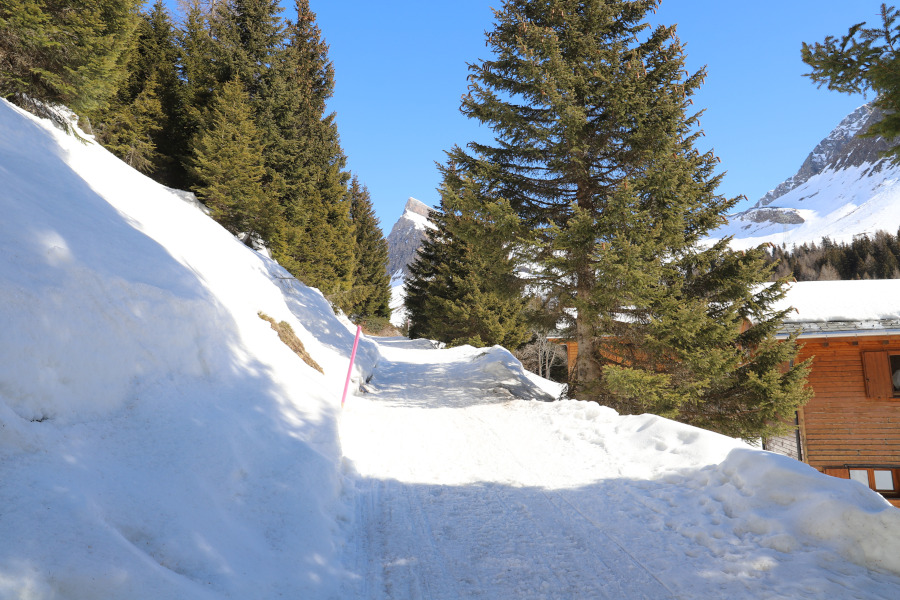
I start this trip from the village of San Bernardino, where there is a large car park near the motorway exit.
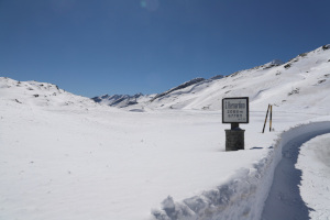
After crossing the village, I put on my snowshoes and start walking northwards, following the pink poles that flank the official snowshoe path. At the crossroads at an altitude of 1690 metres, I turn left and continue until I reach the road that leads to the San Bernardino Pass. At this point it is possible to continue following the road or there are some shortcuts that allow you to cut through the hairpin bends and thus shorten the route. It depends a little on the snow conditions. At 2055 metres, continue for another kilometre until you reach the pass and the San Bernardino hospice.
After the lunch break, in order not to descend from the same side, I decide to continue following the snowshoe path that climbs slightly uphill to an altitude of 2122 meters. This part of the path is very beautiful because you find yourself immersed in the white of the snow and finally you can move away from the asphalted road. The path is always easy and marked by the usual pink poles. Once past the ridge I start to descend towards San Bernardino until I reach an altitude of about 2070 meters. At this point, the official path turns west to rejoin the road taken on the way up. However, seeing the tracks that continue to the south, I decide to continue to descend in the same direction. The tracks, however, which at the beginning are numerous, become less and less as you go down until there is only one left. Continuing to descend, towards an altitude of 1900 metres, I reach a fairly steep slope (probably of difficulty WT3) which causes me some trouble in overcoming it. Once past this section, a few more minor difficulties and I finally reach Gareida Sora where I meet a well-trodden path again that takes me back to San Bernardino. Let's say that if you want to be on the safe side, around 2070 meters it is better to continue to follow the official path for snowshoes and not cut southwards as I did.
Water (Automatic translation in english)
There is none, apart from snow.
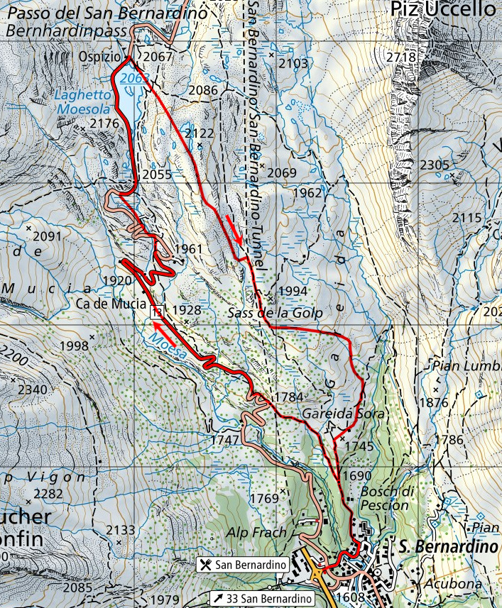
Map of the Path

Other


Comments (0)