
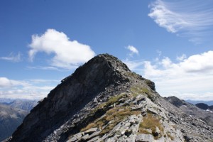
Piz di Campedell
Information
| Date: | 29 August 2010 |
| Maximum height: | 2724.1 m |
| Difference in height: | 1630 m |
| Length: | 14 km |
| Kilometers effort: | 35.7 kmef |
| Duration: | 9 hours and 30 minutes |
Difficulties (Automatic translation in english)

|
From Landarenca to Piöv di Fuori, via Bolif or Lego. |

|
From Piöv di Fuori to the altitude of 2090 metres in the Val del Galbines. |

|
From the altitude of 2090 metres to the Bocchetta di Pianca Geneura. |

|
From where we left the trail at the altitude of 2260 metres to the summit and then to the Bocchetta di Pianca Geneura. |
Comment (Automatic translation in english)
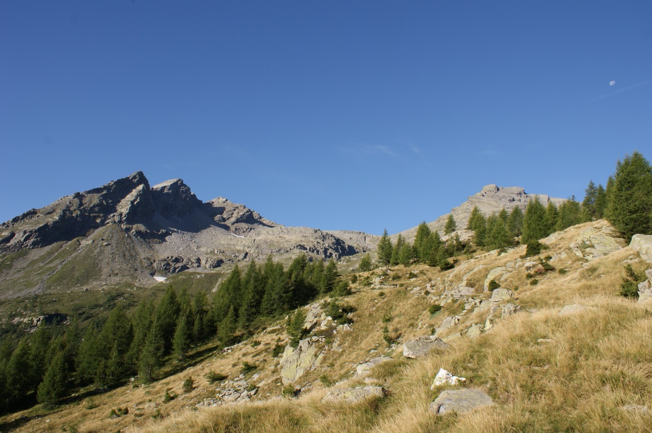
To climb Piz di Campedell, you can set off from Selma, or take the cable car from there up to Landarenca. The cable car is fully automated (CHF 4 one way, CHF 8 return) and allows you to reach the small village above at any time of day. From here, you can then head towards Bolif or Lego, and continue through the woods of Ross and Castaneda until you reach the Piöv di Fuori mountain pasture. From the mountain pasture, you begin to climb towards the Val del Galbines, which you cross at an altitude of around 2,090 metres. On the other side, the path becomes a little more rugged but remains well-marked all the way to the Bocchetta di Pianca Geneura. However, we left the path at an altitude of around 2,260 metres and made our way across the scree slope heading south-west. Once we reached an altitude of 2,620 metres, north of the summit, we paused for a moment to consider how to proceed. As the north face of Piz di Campedell features vertical rock faces, we decided to bypass them to the east and thus reach the summit whilst remaining on the scree slope. For the descent, we opted for the western side, which at first glance appears steep but, on closer inspection, proves passable. The steep section is only about ten metres long, and there are at least two passages allowing you to cross it. We descended near the north-western ridge, but it is also possible to descend further south. We then continued along the scree slope we had traversed in the morning up to an altitude of 2,300 metres, where we decided to reach the Bocchetta di Pianca Geneura by skirting the rocks from below. From the pass, we descended along the path to Alpe Piöv di Fuori and from there back down to Landarenca.
Water (Automatic translation in english)
There is a fountain in Landarenca, near the cable car stop, and then there are two rivers on the path to the Piöv di Fuori alp. At the alp there is another fountain, but it is located inside the animal enclosure. Later, in the Val del Galbines, you cross a river, which is the last source of water up to the summit.
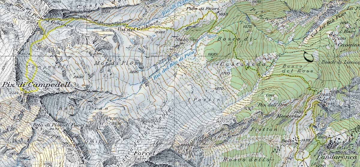
Map of the Path

Summits


Comments (0)